 |
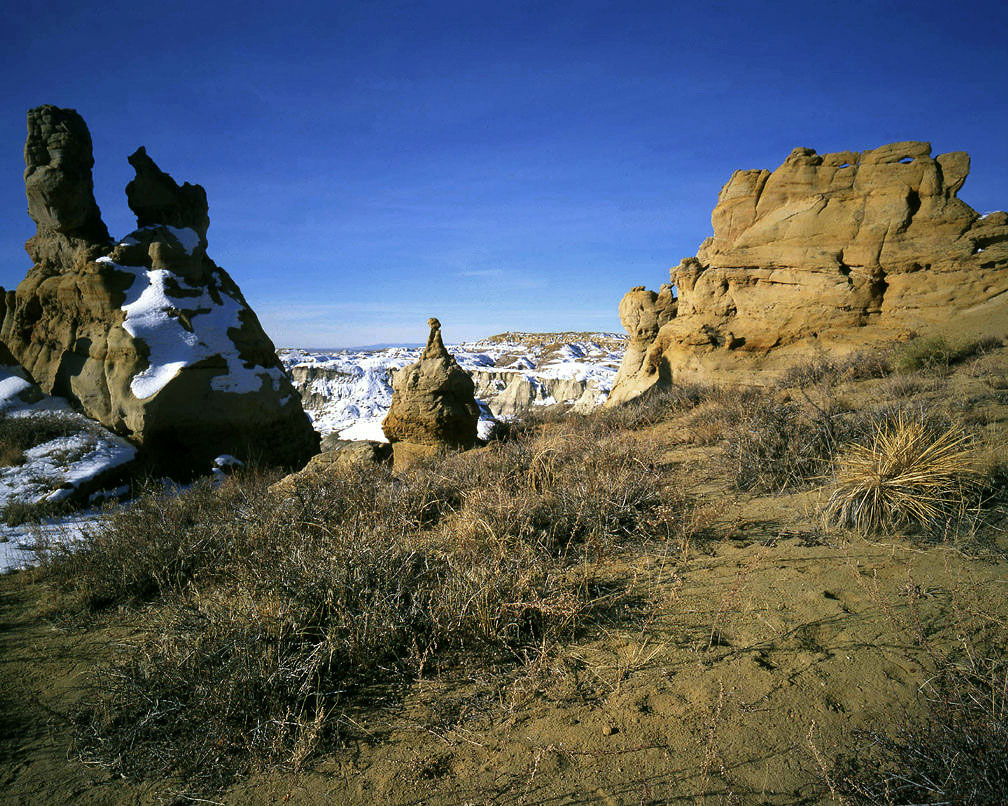
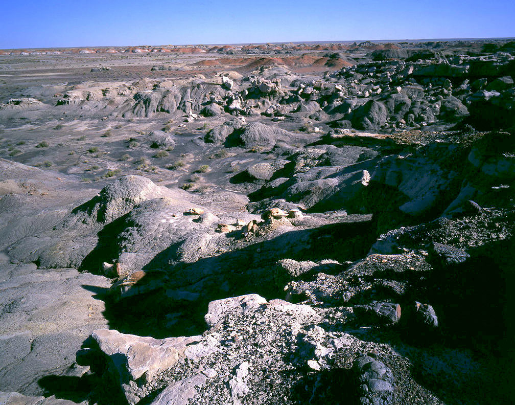
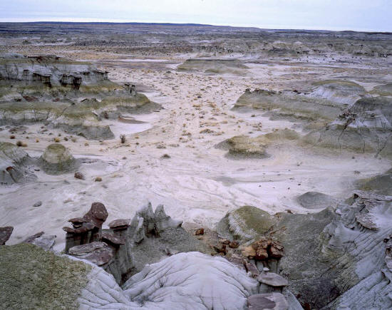
This is a view from the rim of The Ah shi sle pah Wilderness Study Area. This area is centered
around Ah she Sli pah wash and is on Navajo and BLM lands.
1
|
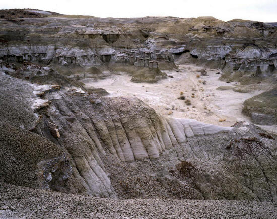 |
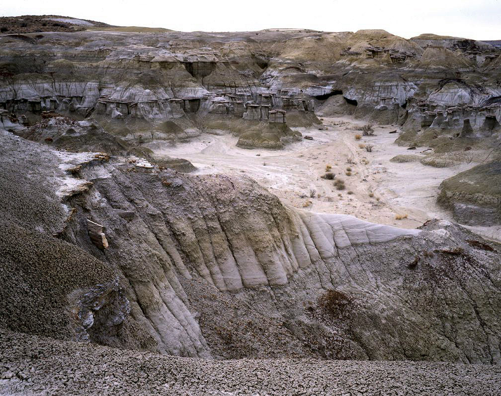
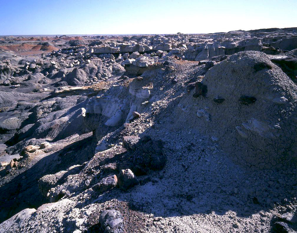
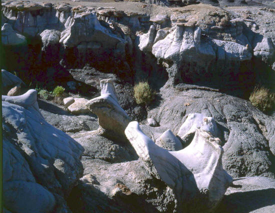
Another view into a drainage along the rim of Ah shi sle pah wash. This may not be the safest place to walk after a
heavy rain. The ground is underlain with hollow pockets that could cave in from your weight.
2
|
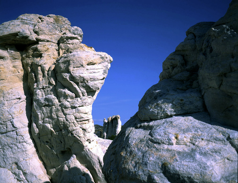
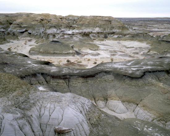 |
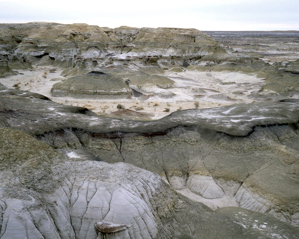
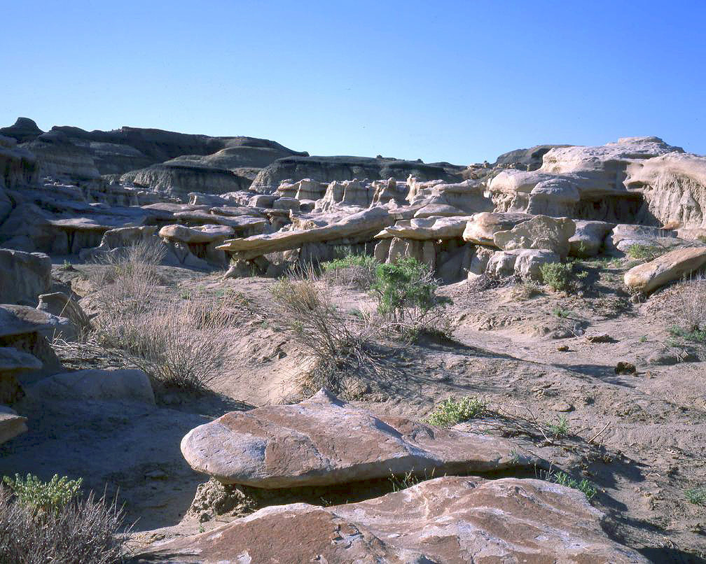
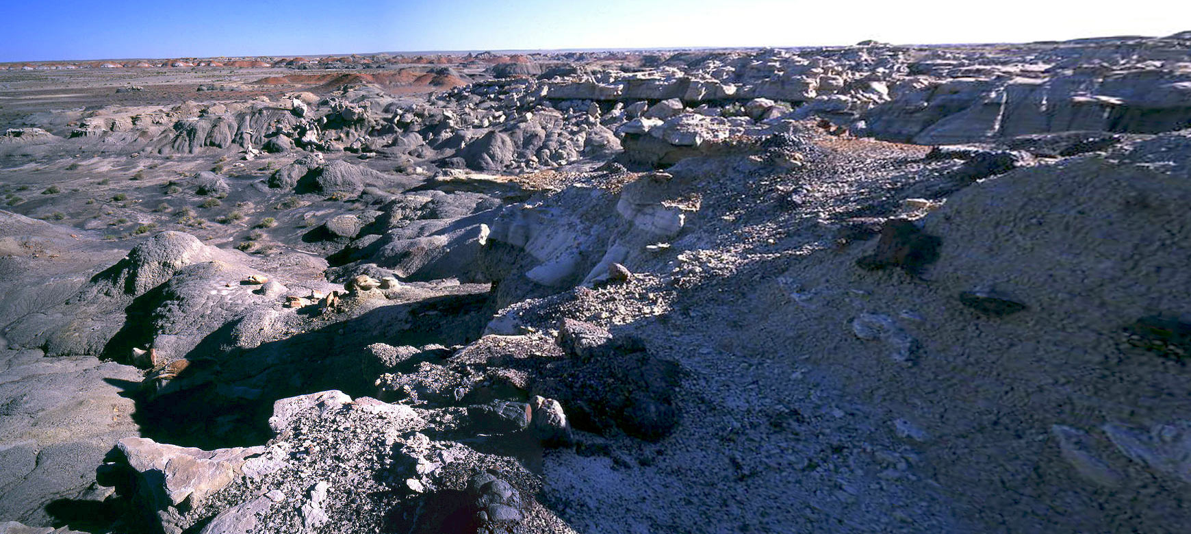
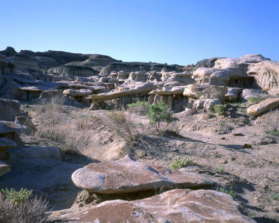
More amazing and strange landforms along the rim of the wash.
3
|
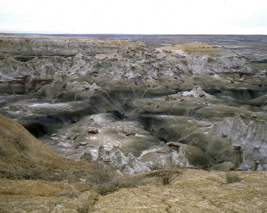 |
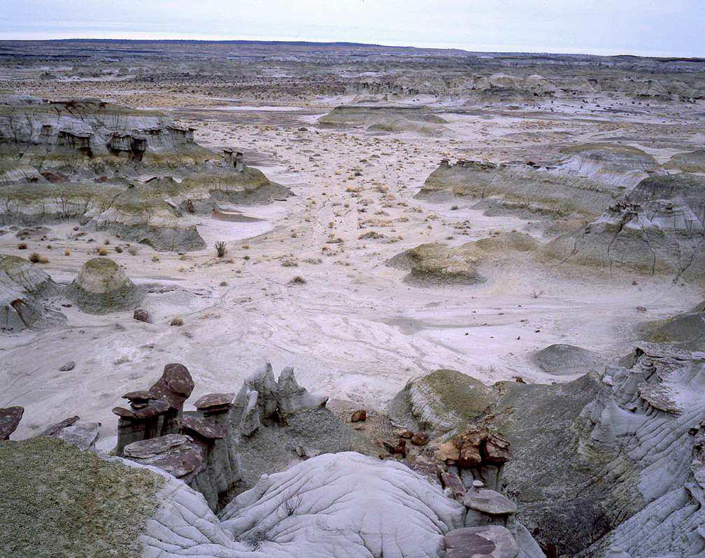
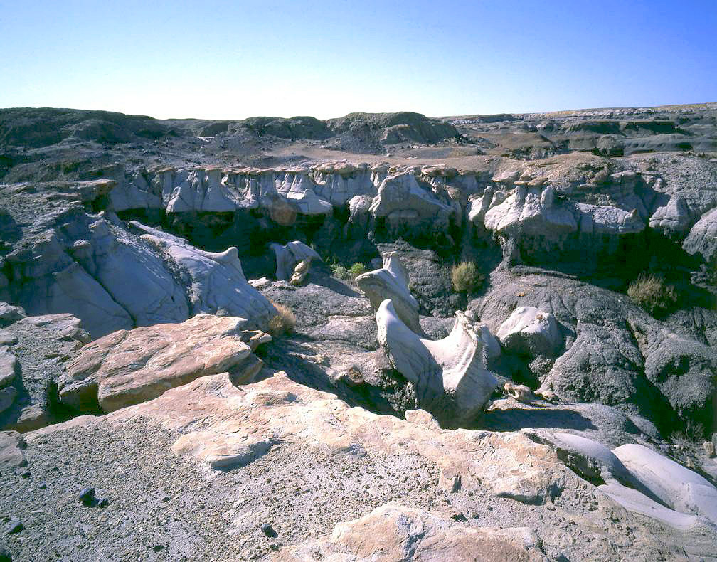
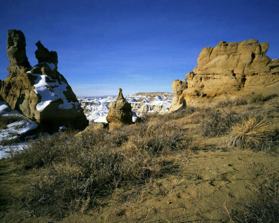
An overlook from the rim of The Ah shi sle pah Wilderness Study Area. This is a classic New Mexico Badlands.
The view is generally west.
4
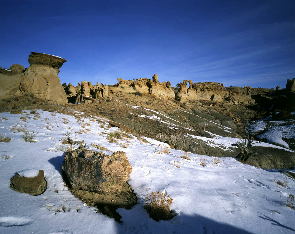
|
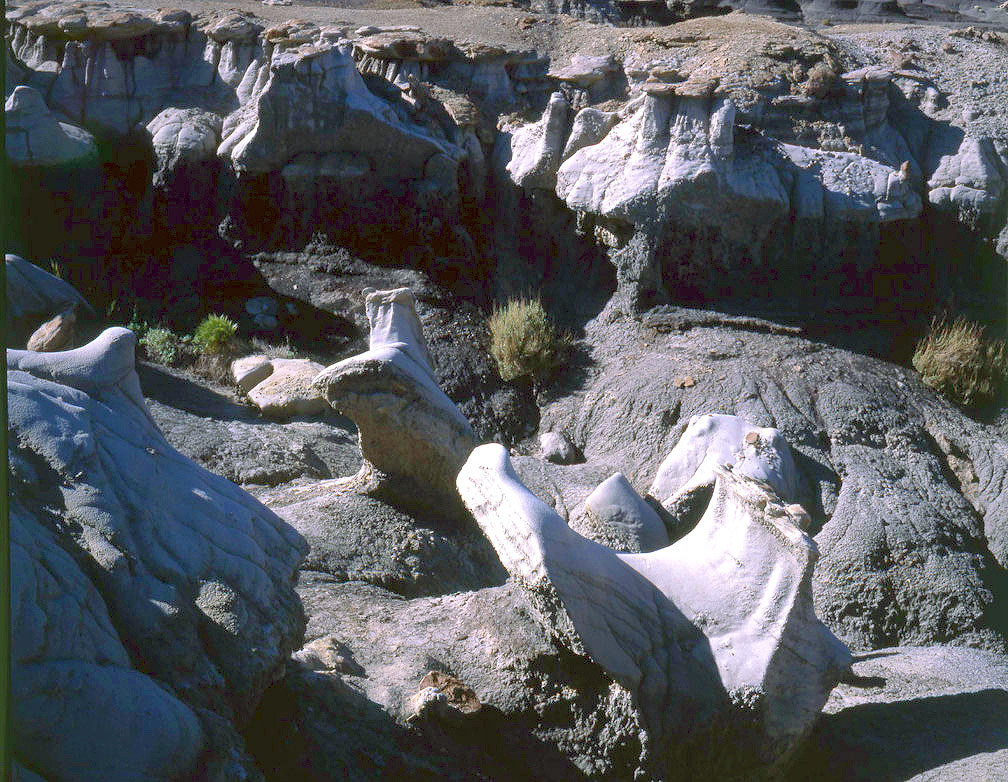
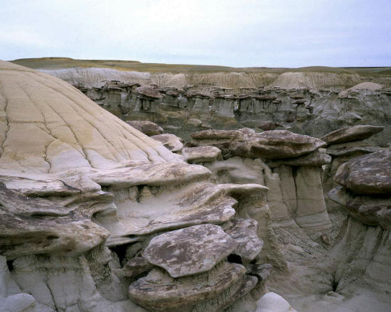 |
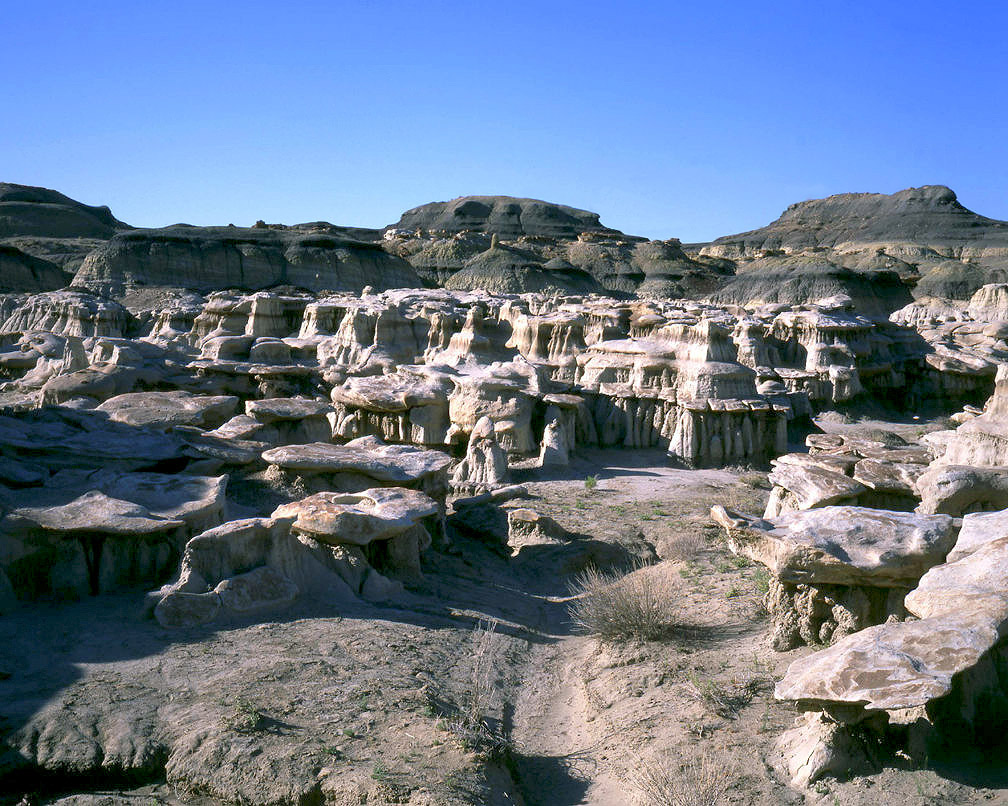
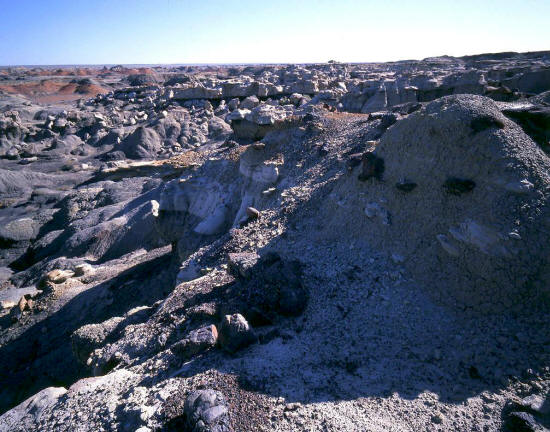
This close-up view is taken among these wild mushroom shaped formations. The top sandstone caprock protects the
softer material below from eroding. They vary in height but are typically about
five to seven feet tall and higher.
5
|
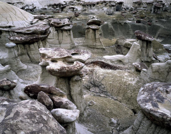 |
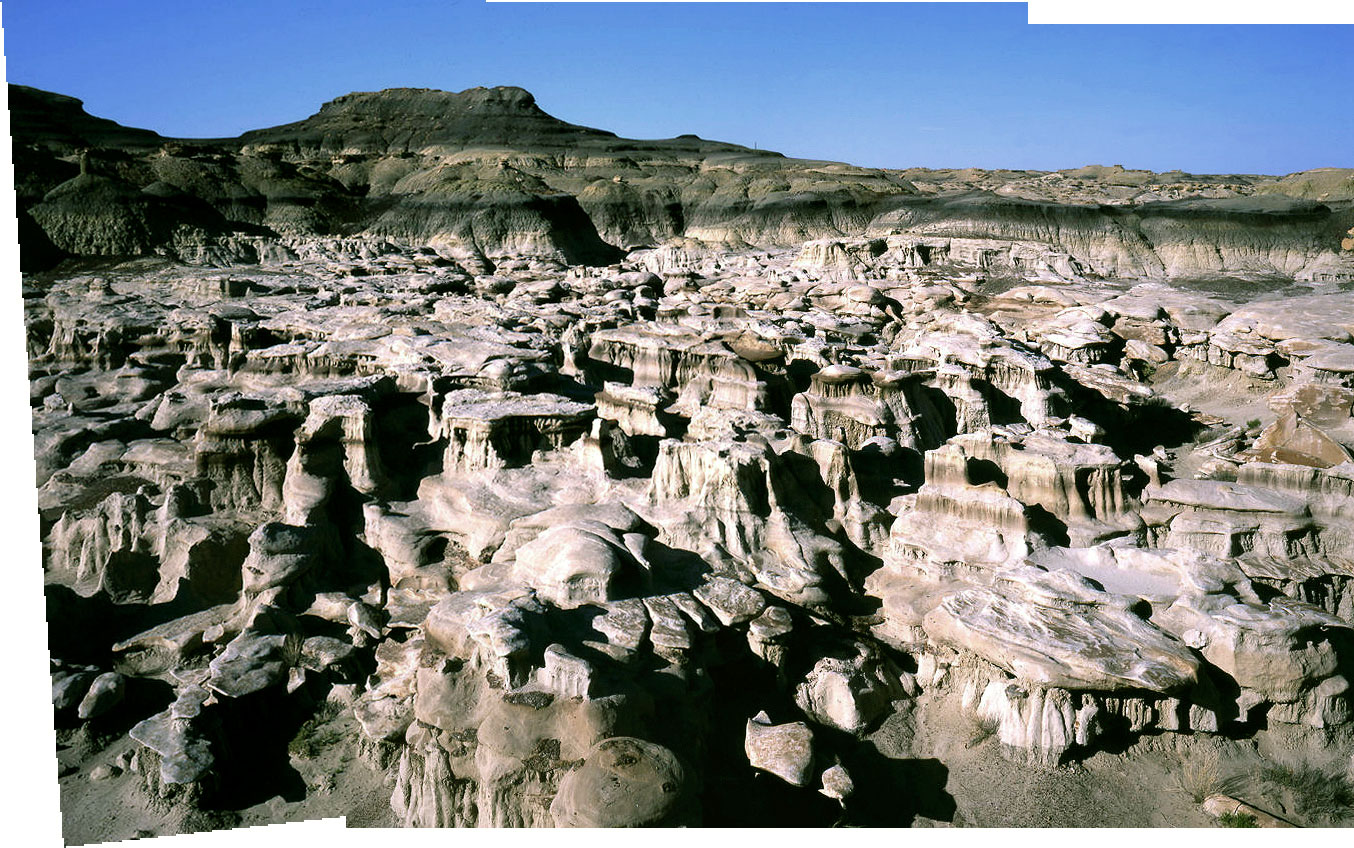
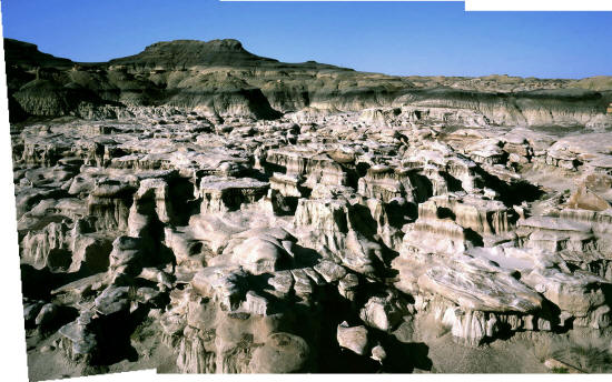
Another close-up view of typical Ah shi sle pah caprock/shale
formations.
Additional Ah shi sle pah images.
6
|
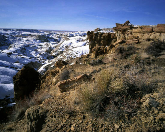 |
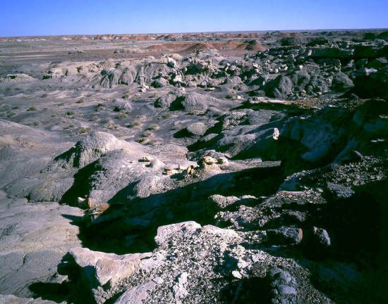
This image was taken in January 2002 in The De na zin Wilderness Area. The De na zin Wilderness area is
another amazing New Mexico badlands in Navajo country.
7
|
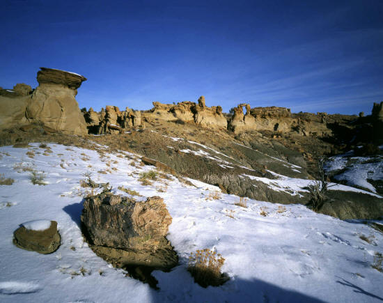 |
More bizarre formations in the De na zin wash drainage.
8
|
 |
The formations in De na zin are unique to it's geology and not entirely similar to either Ah she sli pah or Bisti.
9
|
 |
This is the entrance to a side drainage not far form the BLM parking area at The Bisti Wilderness.
10
|
 |
Continuing into the side drainage from the above image leads to a mass of strange formations somewhat similar
to The Ah shi sle pah wilderness.
11
|
 |
A wider view of this side drainage.
12
|
 |
A view taken from the top of one of these wildly shaped erosional formations looking across the drainage.
13
|
 |
This image of the Bisti Wilderness was taken approximately one mile from the BLM parking area.
14
|
 |
This is panoramic image made from the previous two images.
15
|
 |
Another nearby side drainage with wild rock formations.
16
|
 |
Close-up of the previous image.
17
|
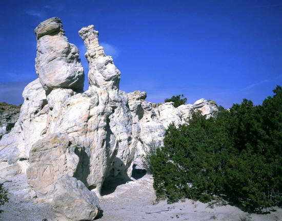 |
White Sandstone hoodoos in the Ojita Wilderness Area near San Ysidro, New Mexico.
18
|
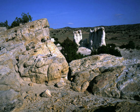 |
White Sandstone hoodoos in the Ojita Wilderness area on Zia Indian and BLM lands.
19
|
 |
Close-up of Sandstone hoodoos.
20
|
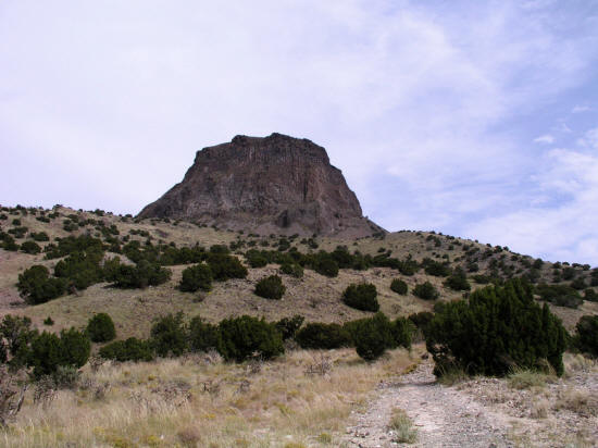 |
This view is of Cabezon Peak looking west from the east side BLM parking area. An access trail
leads to a loop trail that circumnavigates the base of the steeper volcanic core. Cabezon Peak is
a remnant volcanic plug and similar in scale to Shiprock. This is one of several sacred peaks to the Navajo.
Cabezon Peak
21
|
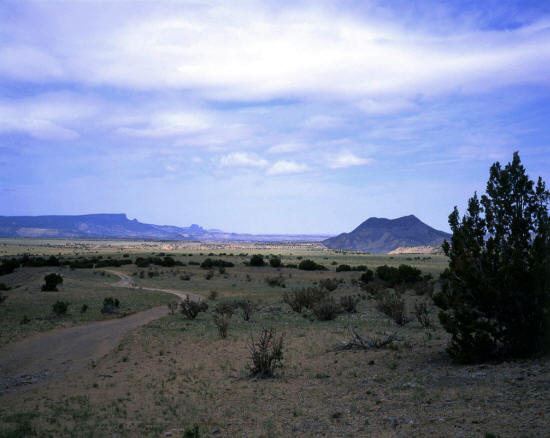 |
This is a view almost directly west from the parking area at the base of Cabezon Peak. The crater on
the right at mid-ground is Cerro Cuate. The mesa on the horizon to the left of the image is a part of Cibola National Forest.
Cabezon Peak backroads.
22
|
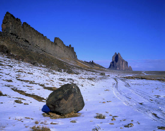 |
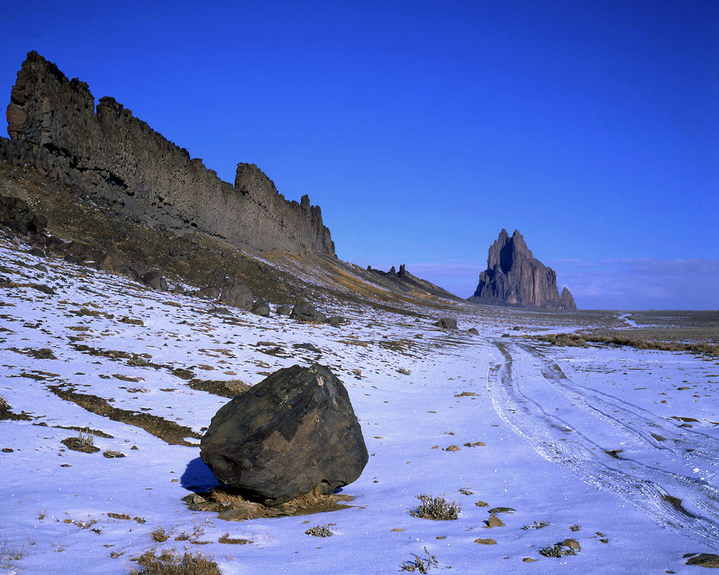
This is Shiprock. A sacred peak to the Navajo who call it "Tse Bi dahi". The formation on the left of the image is
a thin high lava dike that extends two miles to the base of Shiprock.
23
|
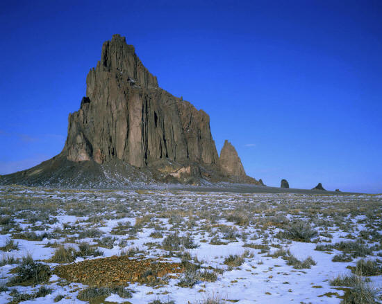 |
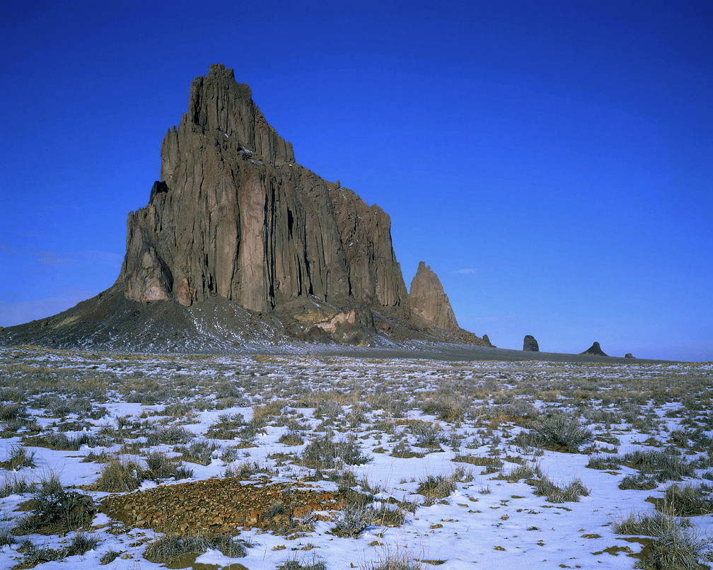
Shiprock - one of the most impressive geologic monuments in the west.
24
|