 |
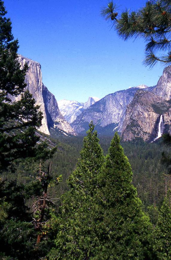
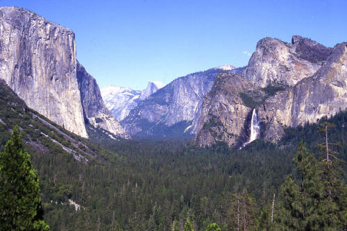
Classic view of Yosemite Valley. Image taken from the Tunnel Overlook looking east from the Wawona Road CA. Hwy 41.
El Capitan on the left, Bridalveil Falls on the right and Half Dome in the center left on the horizon.
1
|
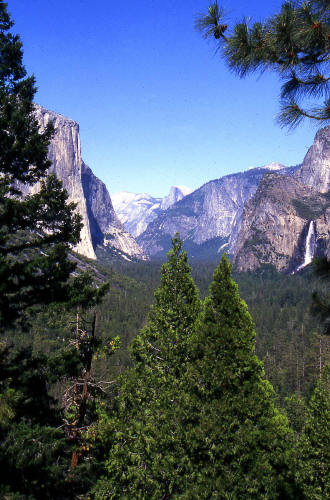 |
Another classic view of Yosemite Valley. Image taken from the Wawona Tunnel at the Overlook pullout.
El Capitan on the left, Bridalveil Falls on the right and Half Dome in the center on the horizon.
2
|
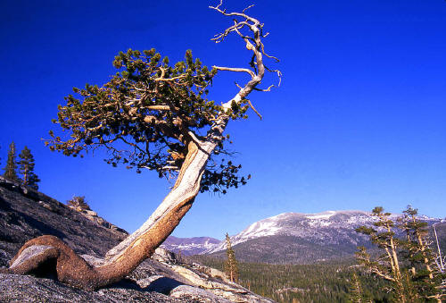 |
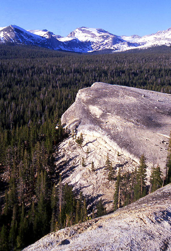
Jeffery Pine on Lembert Dome.
3
|
 |
View northeast from the summit of Lembert Dome in Tuolumne Meadows.
4
|
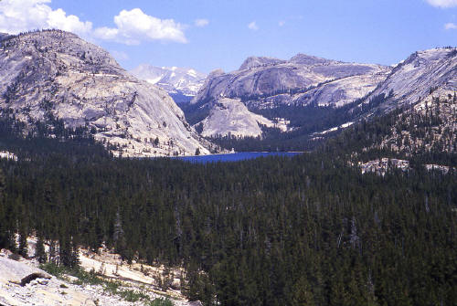 |
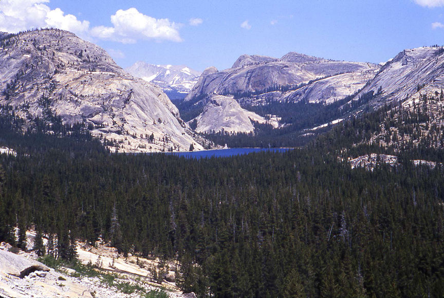
View looking northeast from the Tioga Road to Lake Tenya.
5
|
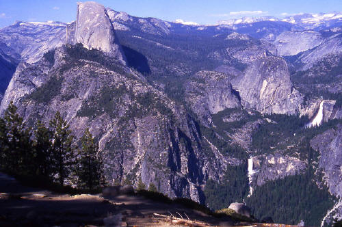 |
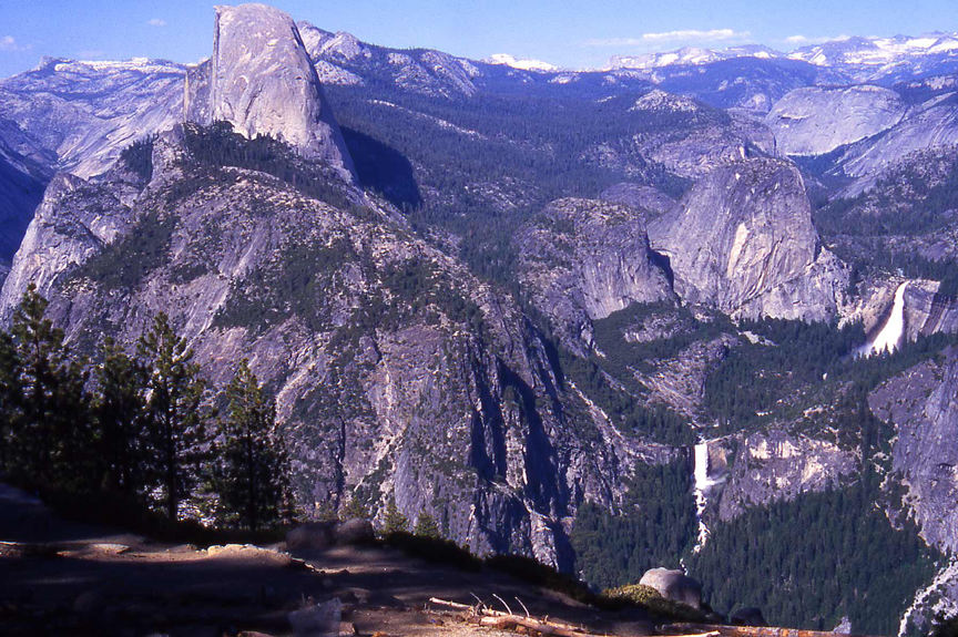
View of Half Dome, Nevada Falls and Vernal Falls from near Glacier Point.
6
|
 |
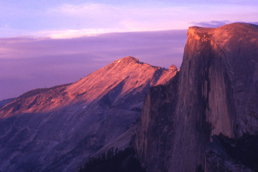
Close-up view of Half Dome from Glacier Point. Clouds Rest on the horizon left of Half Dome.
7
|
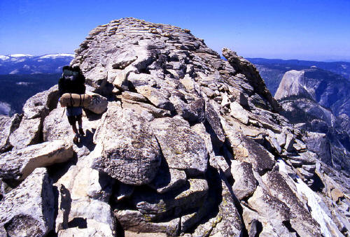 |
Approaching the 9,926 foot high summit of Clouds Rest. Half Dome is visible below and in the mid-ground to the right of Cloud Rest's summit.
8
|
 |
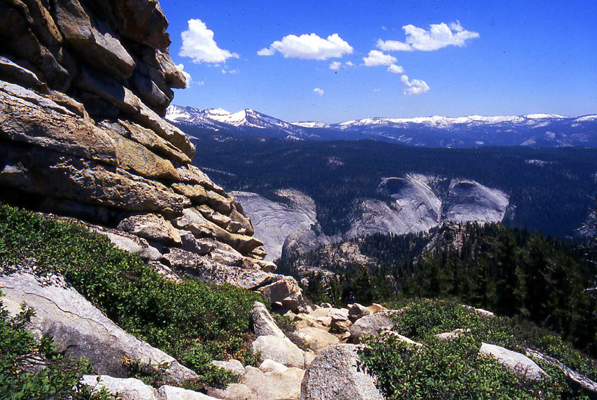
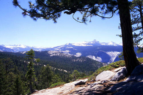
View from the east side of Clouds Rest on the trail just below the summit looking into Little Yosemite Valley.
9
|
 |
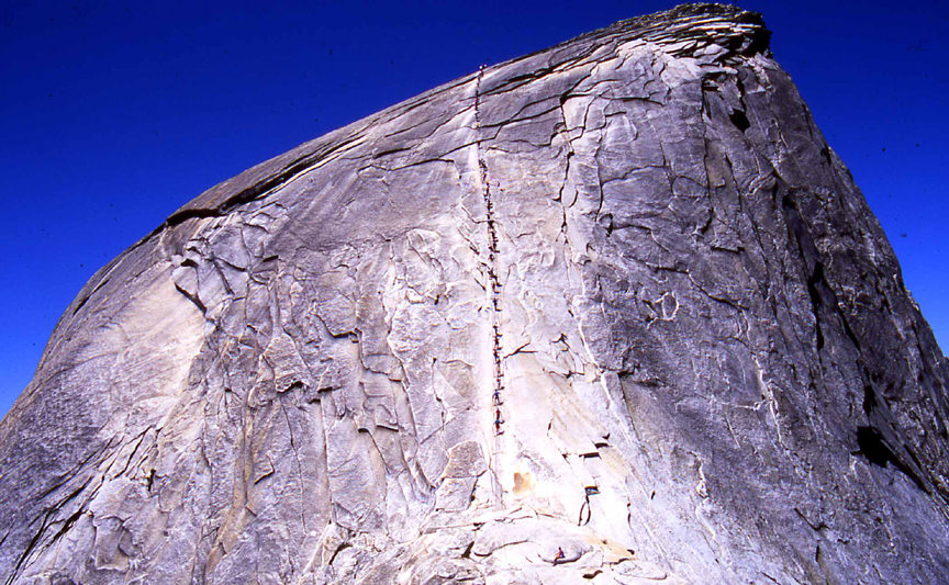
The cables on the west side of Half Dome.
10
|
 |
View into Little Yosemite Valley from the Shoulder of Half Dome.
11
|
 |
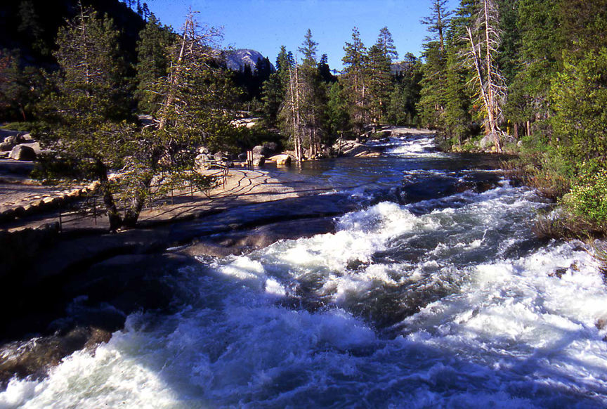
View is upstream on the bridge over the Merced River just above Nevada Falls. One of signs visible in the enlarged view in mid-ground on the left side of the river simply
states " If you get in the water you will die!"
12
|
 |
View is down stream on the bridge over the Merced River at the brink of Nevada Falls. This is your view when you turn 180 degrees from the previous image.
13
|
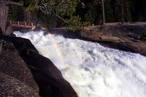 |
View is at the brink of Nevada Falls from an adjacent viewing area. The bridge used as a platform for the previous two images is visible.
14
|
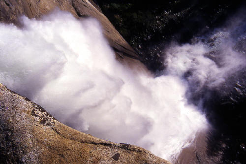 |
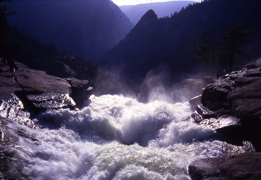
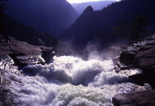
Another view at the brink of Nevada Falls looking over the edge to the base 594 feet below. This image and all images in this gallery were taken in June of 1996 when flows in the local
rivers were at peak from snow melt.
15
|
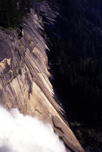 |
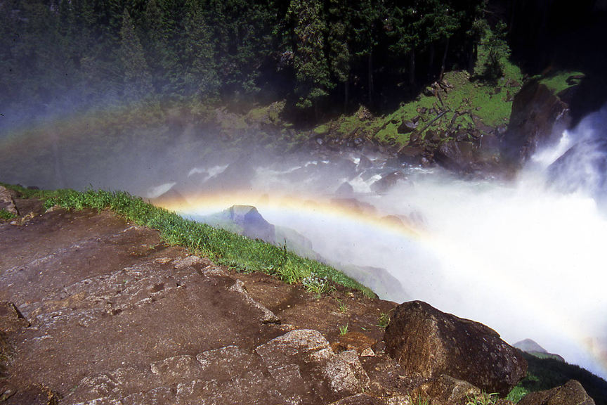
View down the line of the cliff face that forms Nevada Falls.
16
|
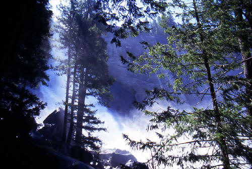 |
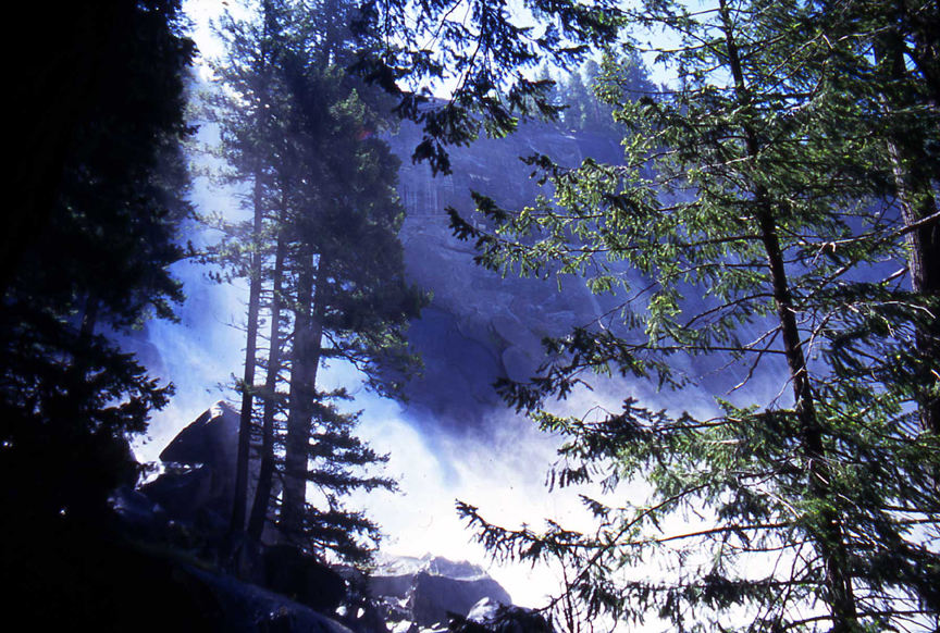
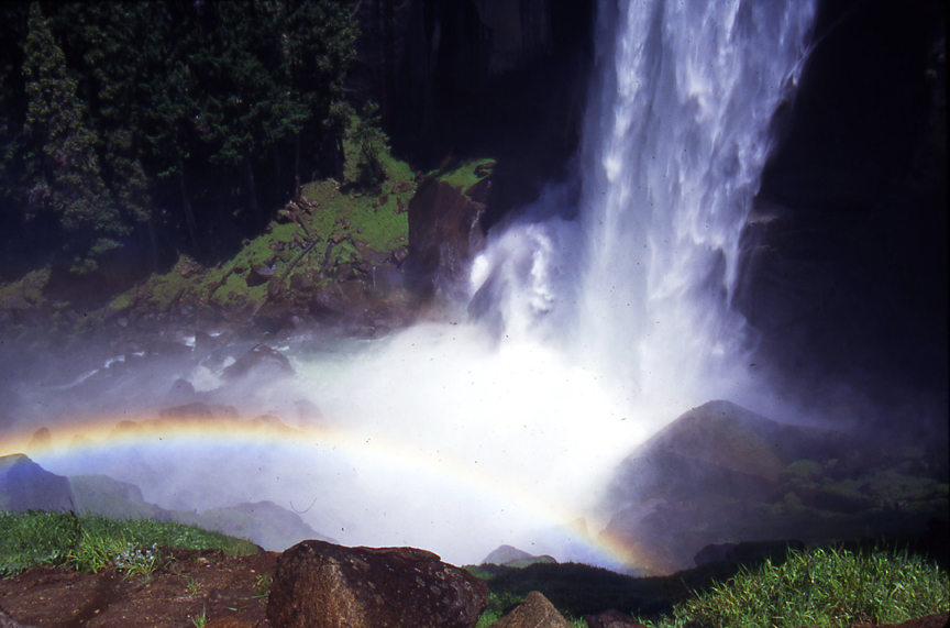
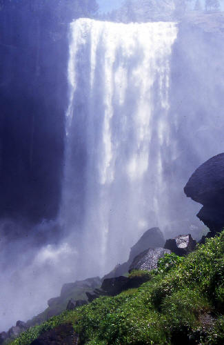
View looking up thru the trees and mist at the base of Nevada Falls.
17
|
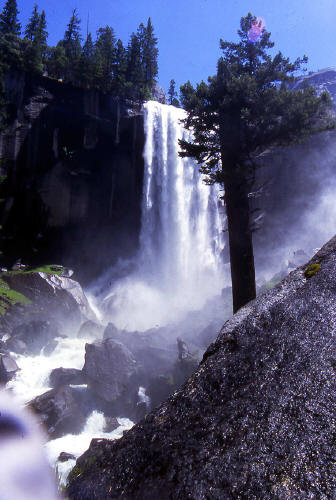 |
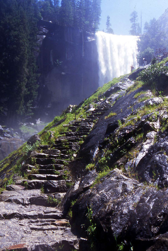
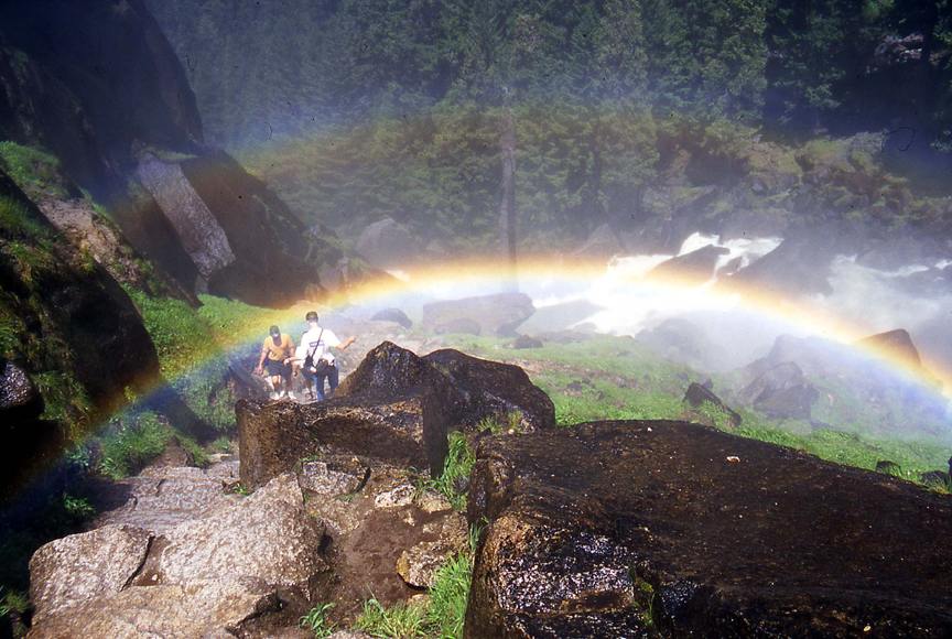
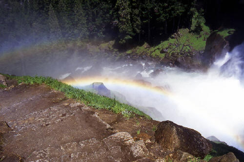
View from "The Mist Trail" to Vernal Falls.
18
|
 |
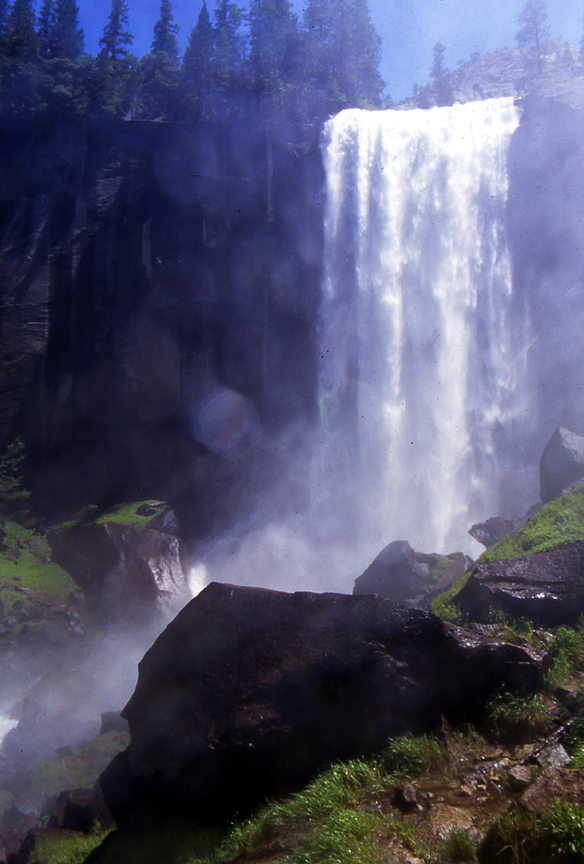
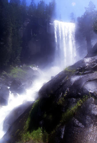
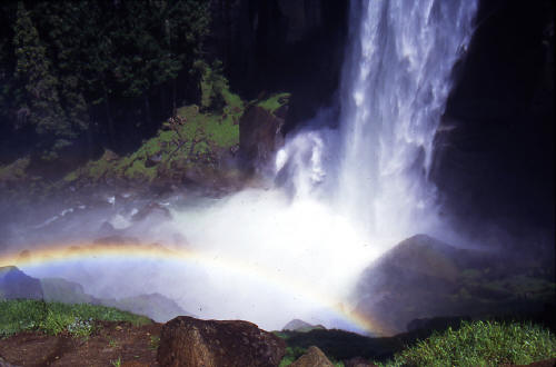
Another view from "The Mist Trail" to Vernal Falls.
19
|
 |
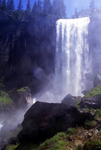
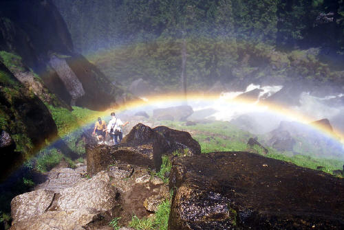
Another view from "The Mist Trail" to Vernal Falls.
20
|
 |
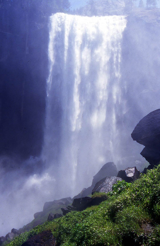
Close-up view from "The Mist Trail" to Vernal Falls.
21
|
 |
Zoomed view from "The Mist Trail" to Vernal Falls.
22
|
 |
View downstream from just below Vernal Falls on "The Mist Trail".
23
|
 |
View at the base of Vernal Falls from along "The Mist Trail".
24
|
 |
Another view downstream from just below Vernal Falls on "The Mist Trail".
25
|
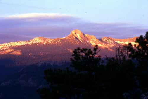 |
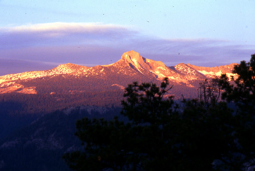
View at sunset from Glacier Point to Mount Starr King.
26
|
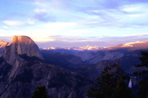 |
View at sunset from Glacier Point to Little Yosemite Valley. Half Dome on the left and Nevada Falls visible in the lower right.
27
|
 |
Zoomed view at sunset from Glacier Point to Half Dome and Cloud's Rest.
28
|