 |
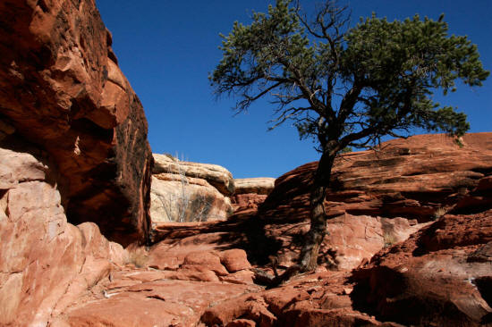
This is part of the trail that climbs from the dry creek bed to a
rock slab bench below the portal to Chessler Park. As the trail
climbs out of the creek bed it skirts through fairly rough and large
rocky talus until it reaches solid rock as this image shows.
1
|
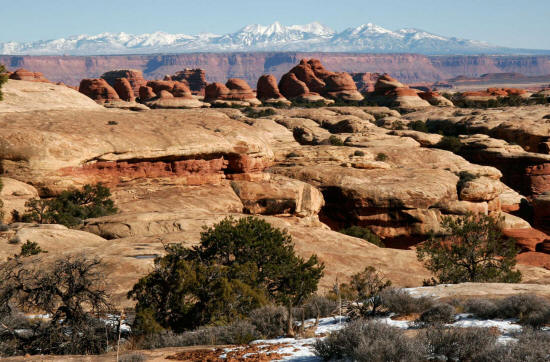 |
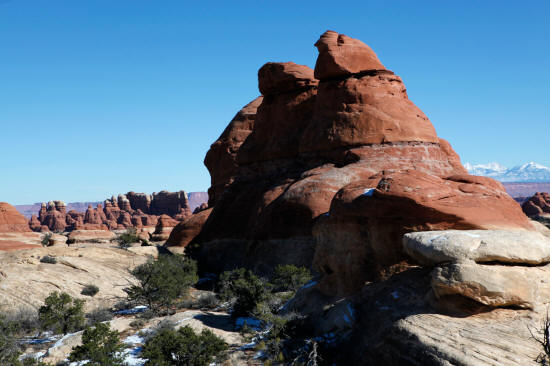
Zoomed view northeast to the La Sal Mountains from the bench below
the entry portal to Chessler Park. View overlooks the Cedar Mesa
Sandstone of the Needles District to the Wingate Formation that forms the
maroon cliffs beyond.
2
|
 |
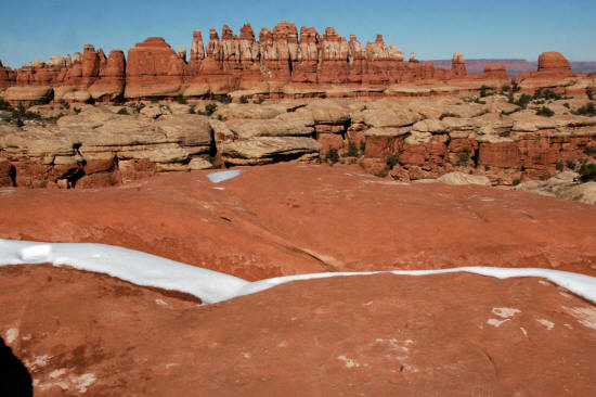
View is southwest from a gently climbing section of trail.
3
|
 |
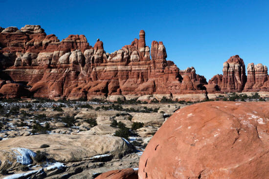
Looking northeast from the trail as it pass a series of very colorful Cedar Mesa
Sandstone towers.
4
|
 |
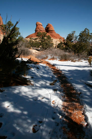
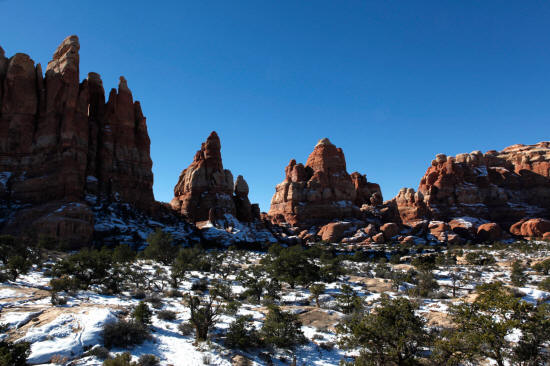
Looking north from the trail as it pass Cedar Mesa
Sandstone towers. The trail climbs approximately 265 feet from the
creek bed to this location on the bench below Chessler Park.
5
|
 |
Looking generally west to a line of pinnacles that frame the
bench below Chessler Park.
6
|
 |
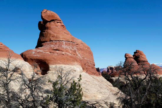
Looking west to a line of pinnacles that frame the bench below
Chessler Park. All of the rock formations in this view are Cedar
Mesa Sandstone.
7
|
 |
Looking southwest to the massive pinnacles that frame the portal to
Chessler Park. The trail climbs approximately 150 feet from this
location passing through the first gap in the rock wall from the left.
8
|


