|
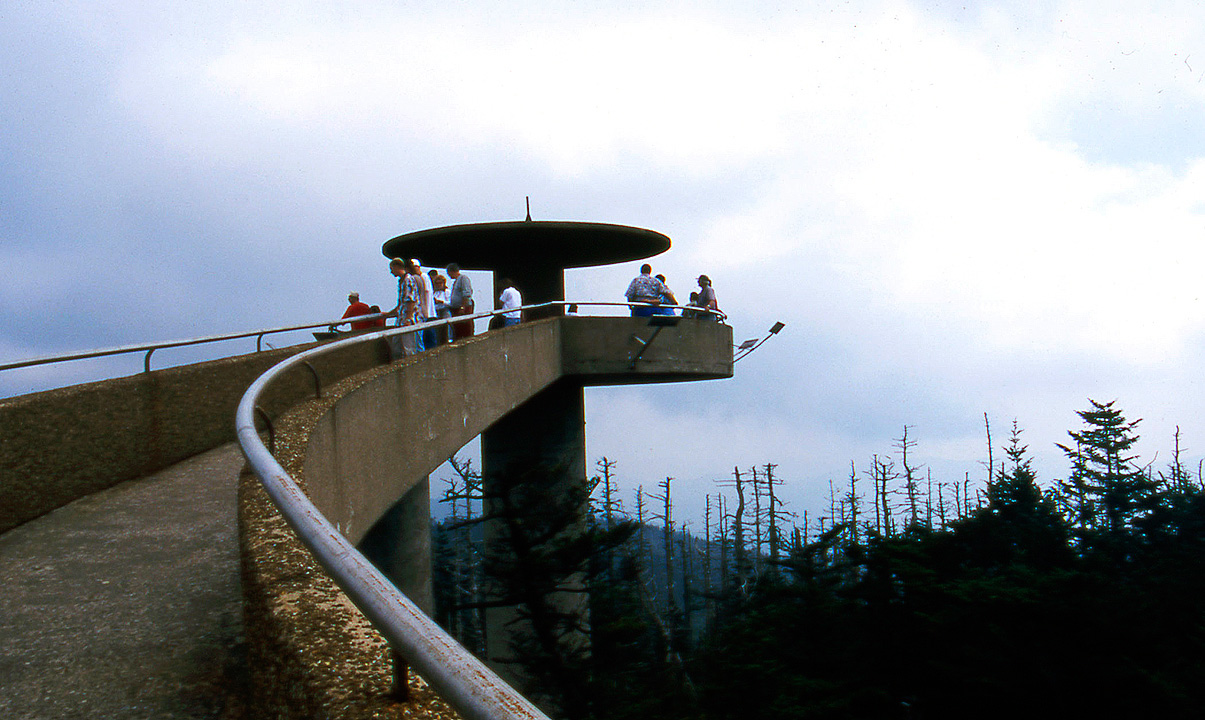
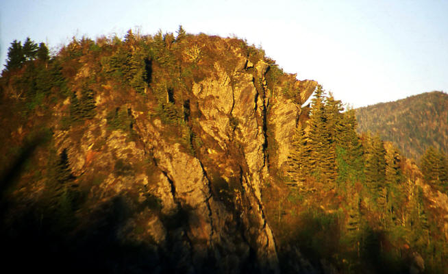
The observation platform at Clingman's Dome in Great Smoky Mountains National Park. Clingman's Dome is the highest point in the state of Tennesse.
10
|
 |
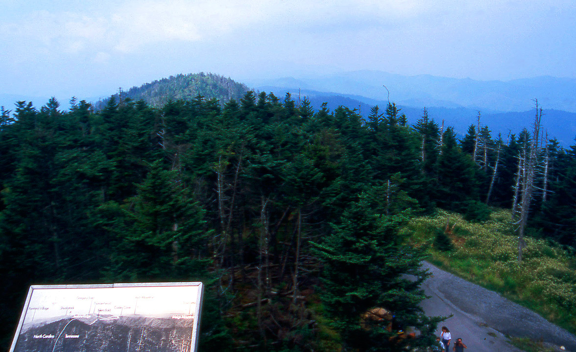
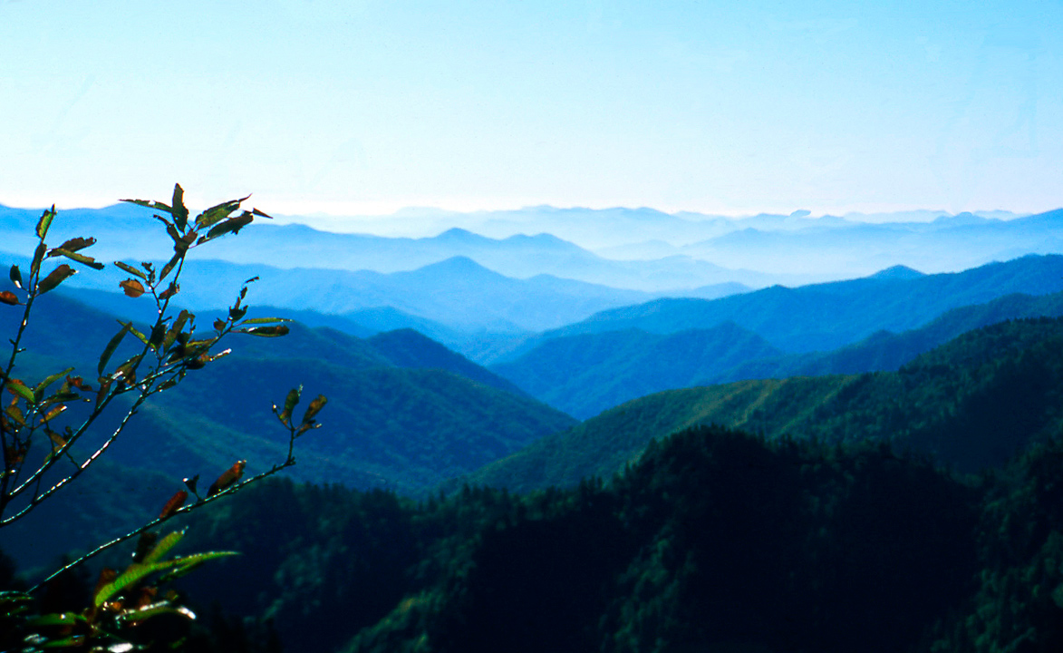
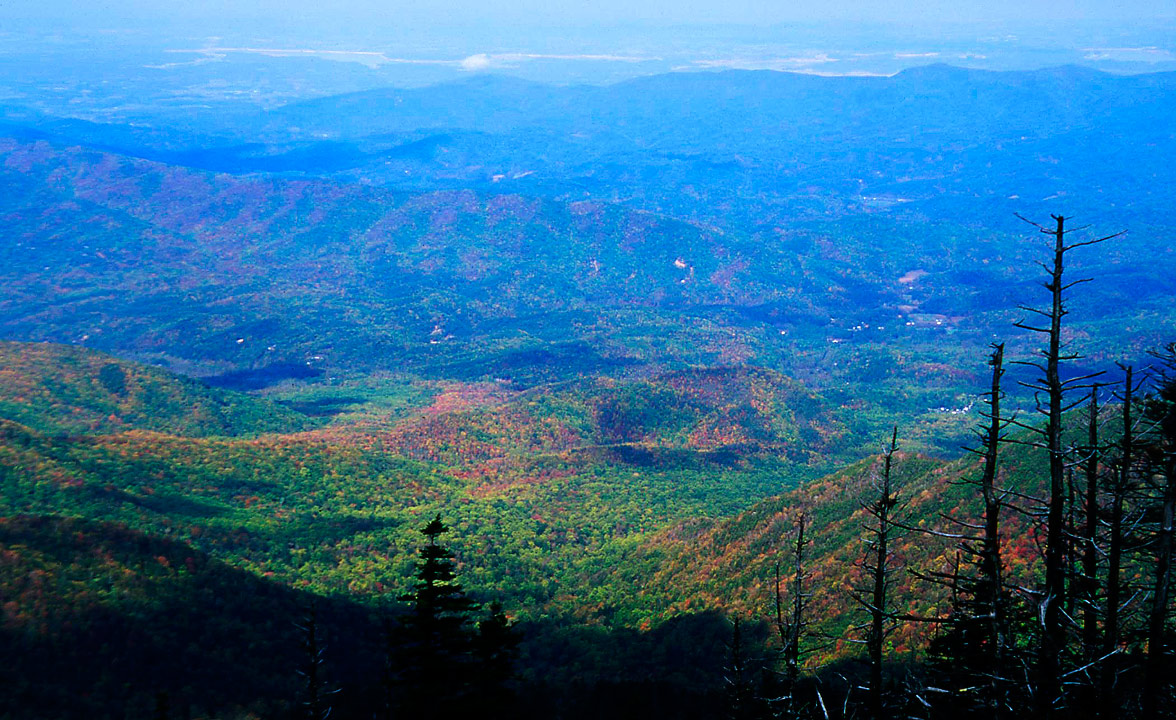
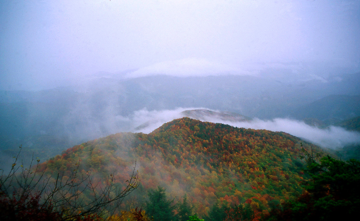
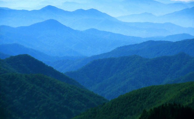
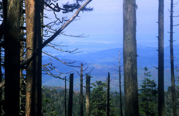
View looking south from the observation platform at Clingman's Dome.
11
|
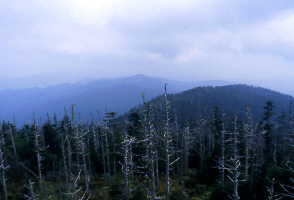 |
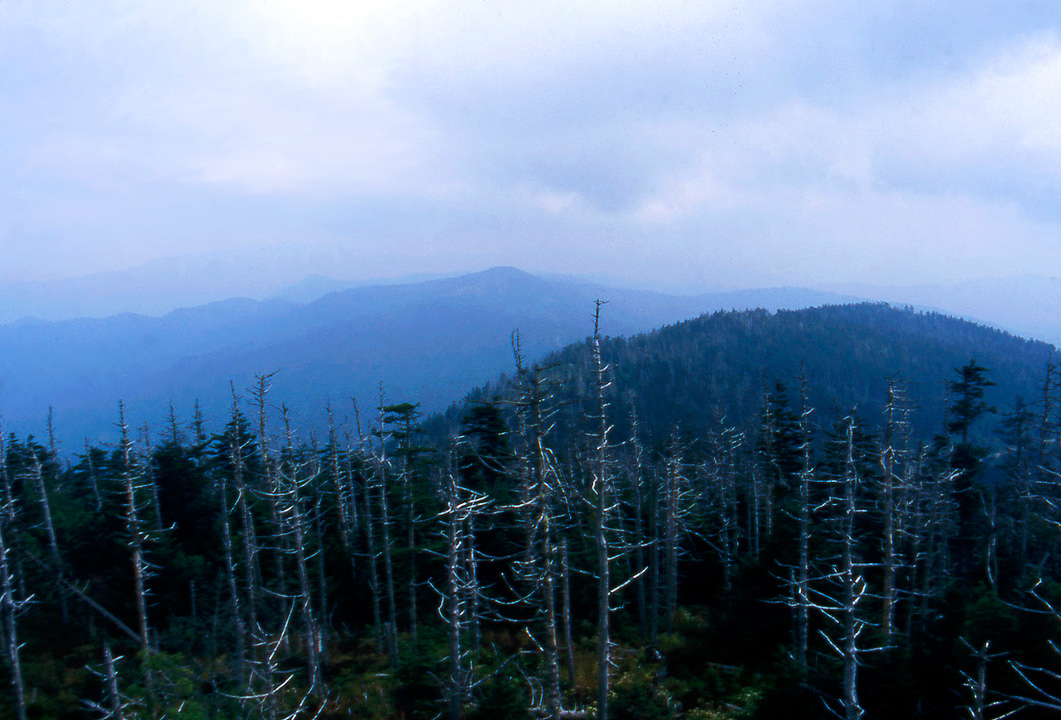
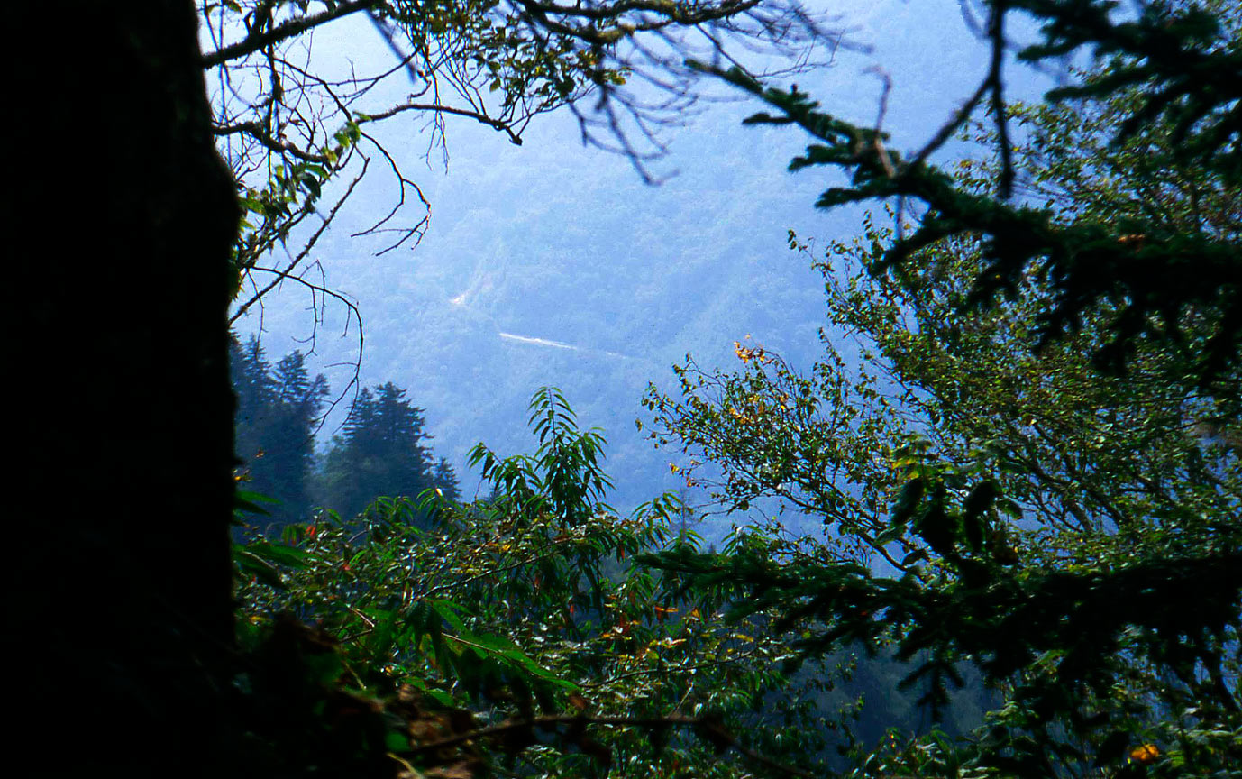
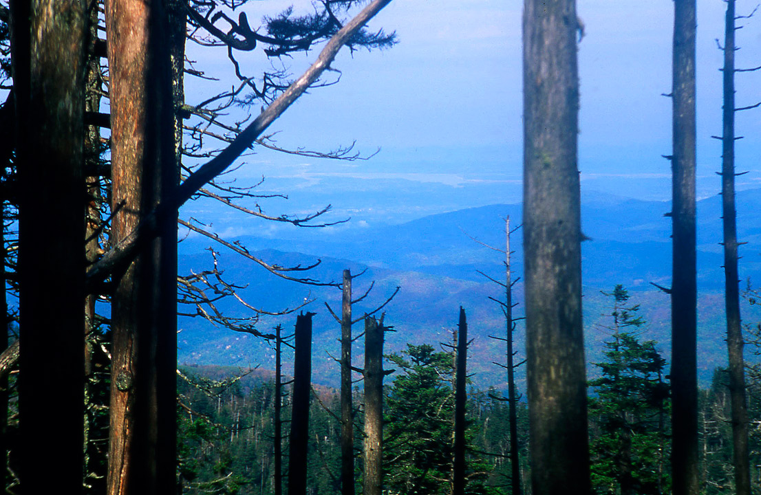
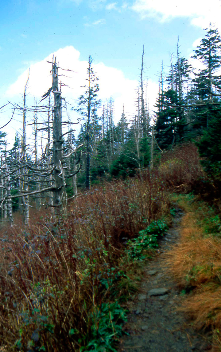
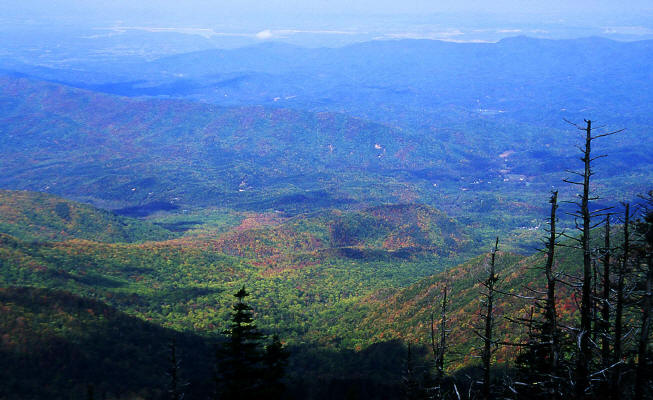
View looking northwest from the observation platform at Clingman's Dome. The dead conifers are typical in the Park above 5000'. The trees are dying as a result of a combination of air pollution and parasites.
The photos were taken in September of 1997 and I assume more trees have died. The air pollution has reduced visibility at the observation platform from approximately 60 miles to 20 miles.
12
|
 |
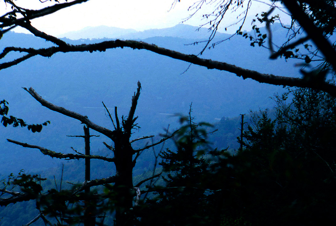
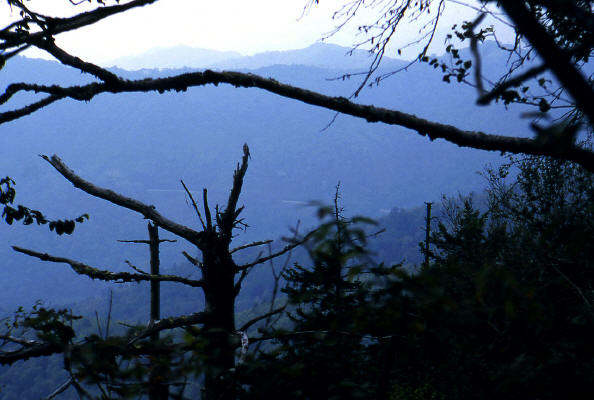
Road over Newfound Gap.
13
|
 |
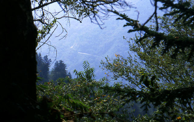
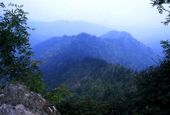
Another view looking southeast from the Appalachian Trail. The road in the distance is again the road over Newfound Gap.
The trail follows a ridgeline and provides almost constant views east and west through the tree canopy.
14
|
 |
View looking east from the AT.
15
|
 |
Zoomed version of previous view looking east from the AT.
16
|
 |
This is the view north from the "Jumpoff". The "Jumpoff" is a short side trip westbound from the Appalachian Trail.
We walked through several acres of berry patches in this area. Noticed fresh bear scat.
17
|
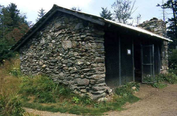 |
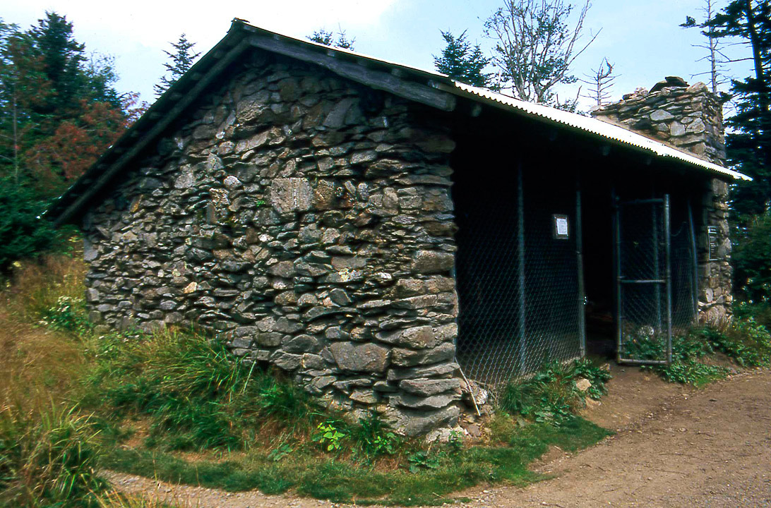
This is "Ice House Shelter". The first shelter north of Newfound Gap on the AT. It is very typical of the shelters in the National Park
with a fireplace and bear fence. There of two large wooden shelves that serve as sleeping platforms. The shelters can handle twelve people.
There is very little wood available within a mile radius of the shelters.
18
|
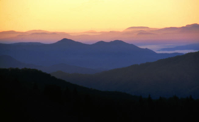 |
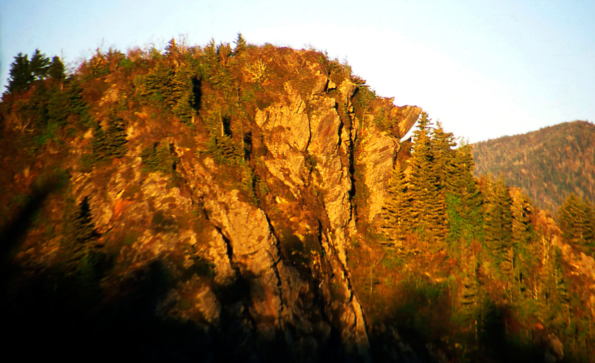
Sunrise from the top of Charlie's Bunyon. The Appalachian Trail passes directly below Charlie's Bunyon.
19
|
 |
View looking south to Charlies Bunyon from the Appalachian Trail.
20
|
 |
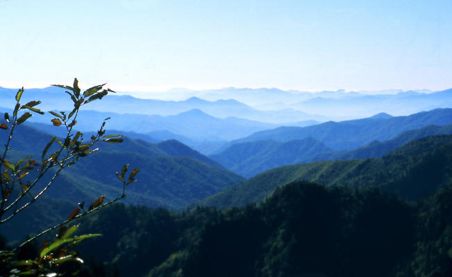
View west from the Appalachian Trail in Great Smoky Mountain National Park.
21
|
 |
Another view west from the Appalachian Trail in Great Smoky Mountain National Park.
22
|
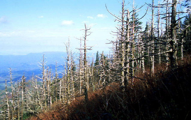 |
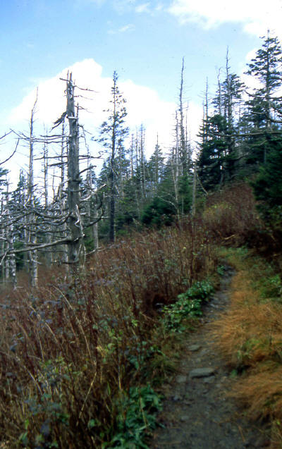
View northwest from the AT in the National Park. This area was covered with dead conifers.
23
|
 |
Dead conifer's along the AT.
24
|
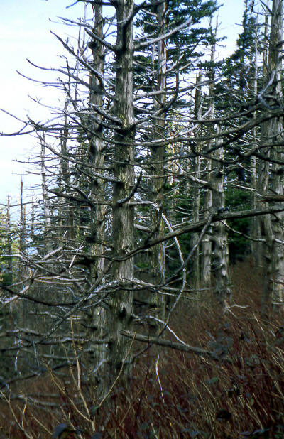 |
Close up of dead conifer's.
25
|
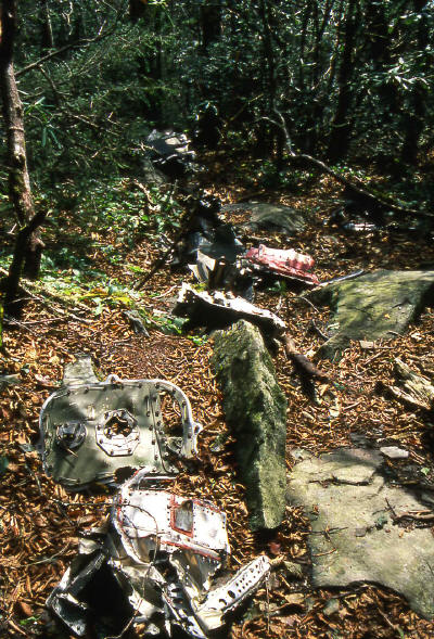 |
F-104 parts from a plane crash in the National Park. The parts a strewn east and west of the AT.
26
|
 |
View generally east from the Appalachain Trail down to a lower mountain.
27
|
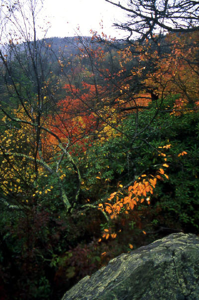 |
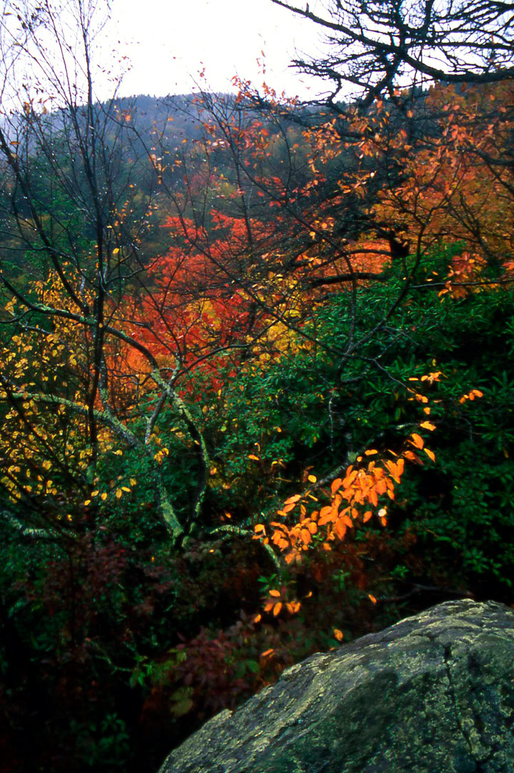
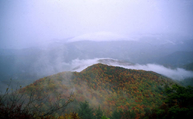
Nice fall color along the AT. This image taken in light rain.
28
|
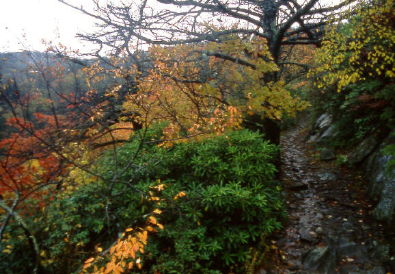 |
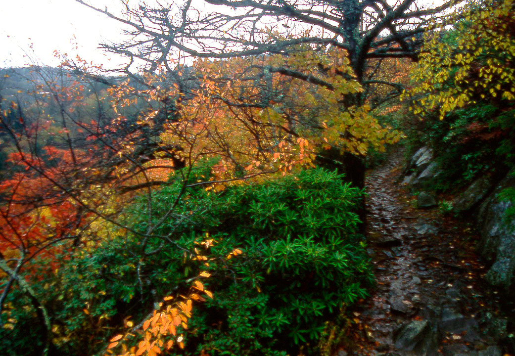
More good color along the AT. This image also taken in light rain.
29
|
 |
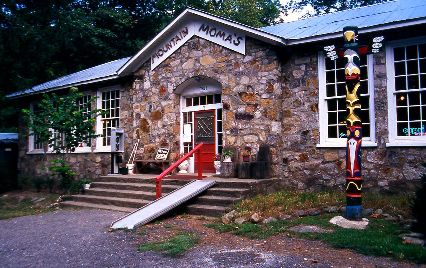
The famous "Mountain Mammas". A major way-station for thru-hikers on the Appalachian Trail.
30
|
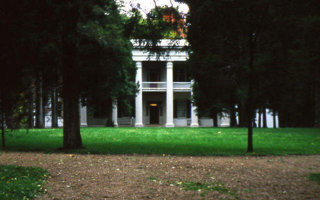 |
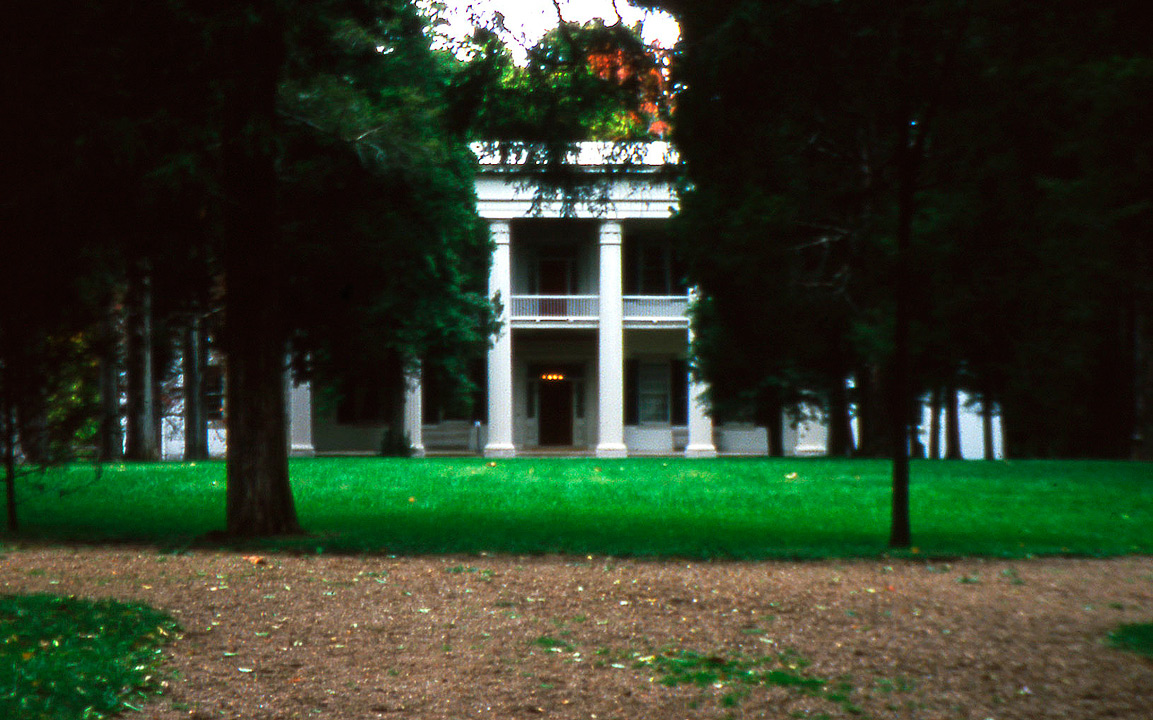
Classic view of Andrew Jackson's home "The Hermitage" near Nashville, TN. This photo was taken October of 1997
before many of the trees adjacent to the home were destroyed by a tornado.
31
|
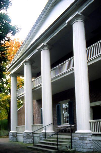 |
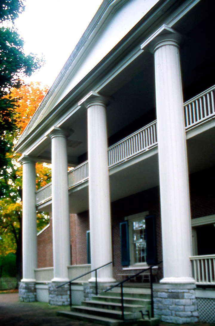
Close up of main portico at Andrew Jackson's home "The Hermitage". just east of Nashville, TN.
32
|
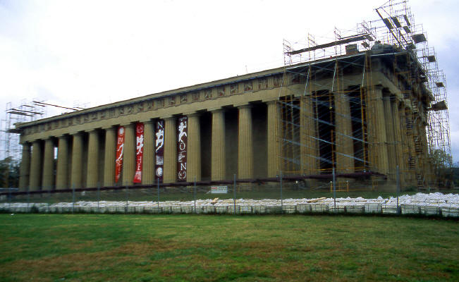 |
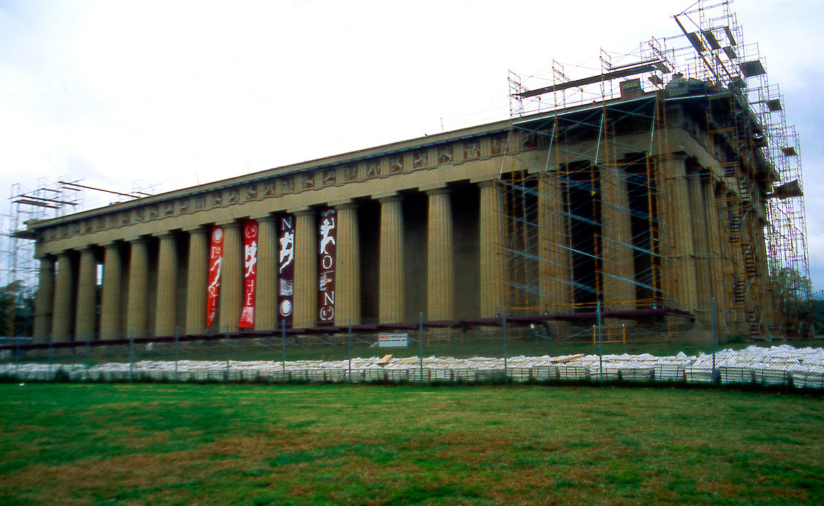
An exact replica of "The Parthenon" has been preserved in a Nashville city park adjacent to Vanderbilt University.
The building was built as part of a World Exposition held in the 1930's. Major repairs were underway in October of 1997 when this image was taken.
33
|