 |
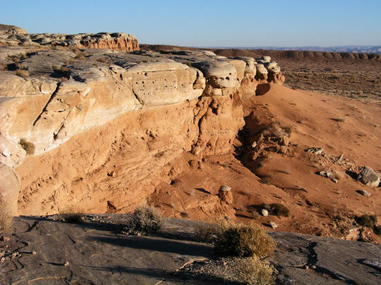
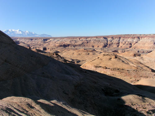
View west from sandstone caprock in the San Rafael Desert, Utah. The profile of Factory Butte is on the horizon.
1
|
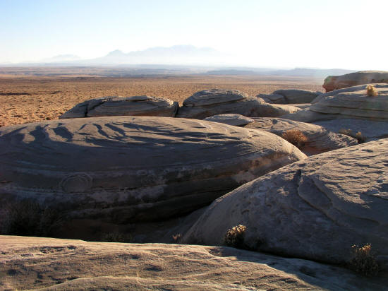 |
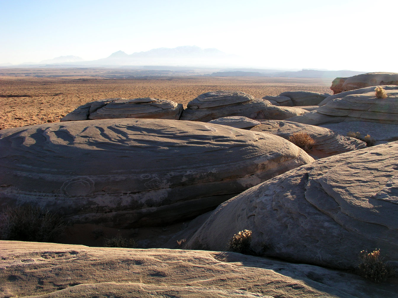
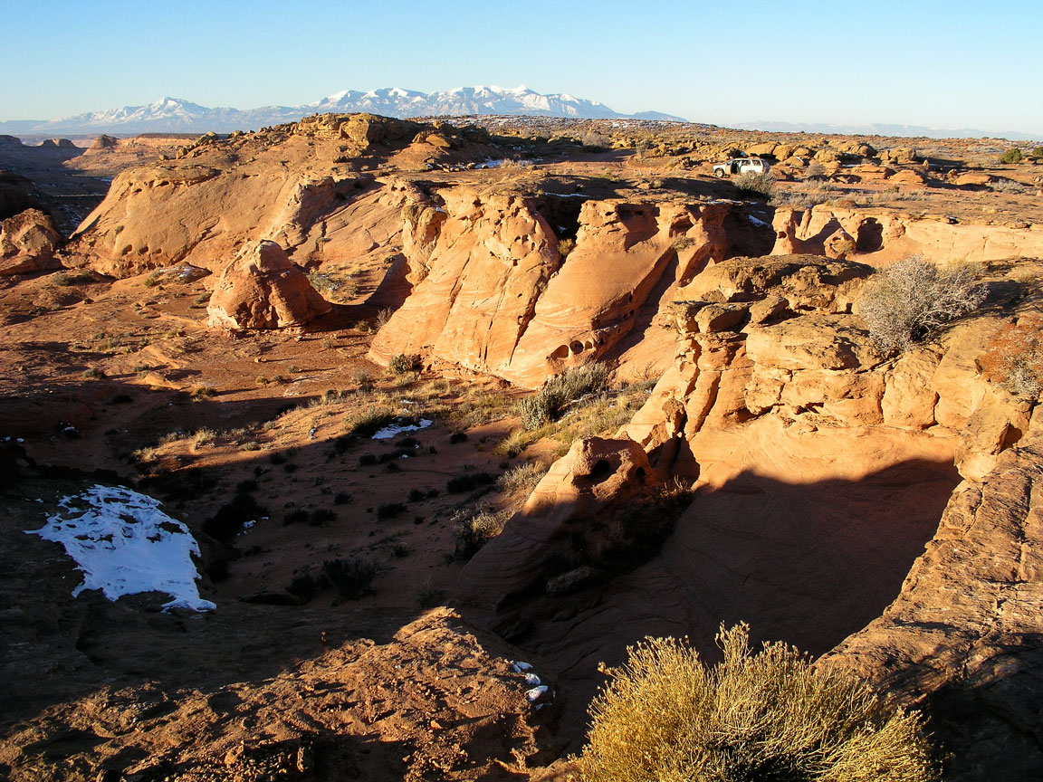
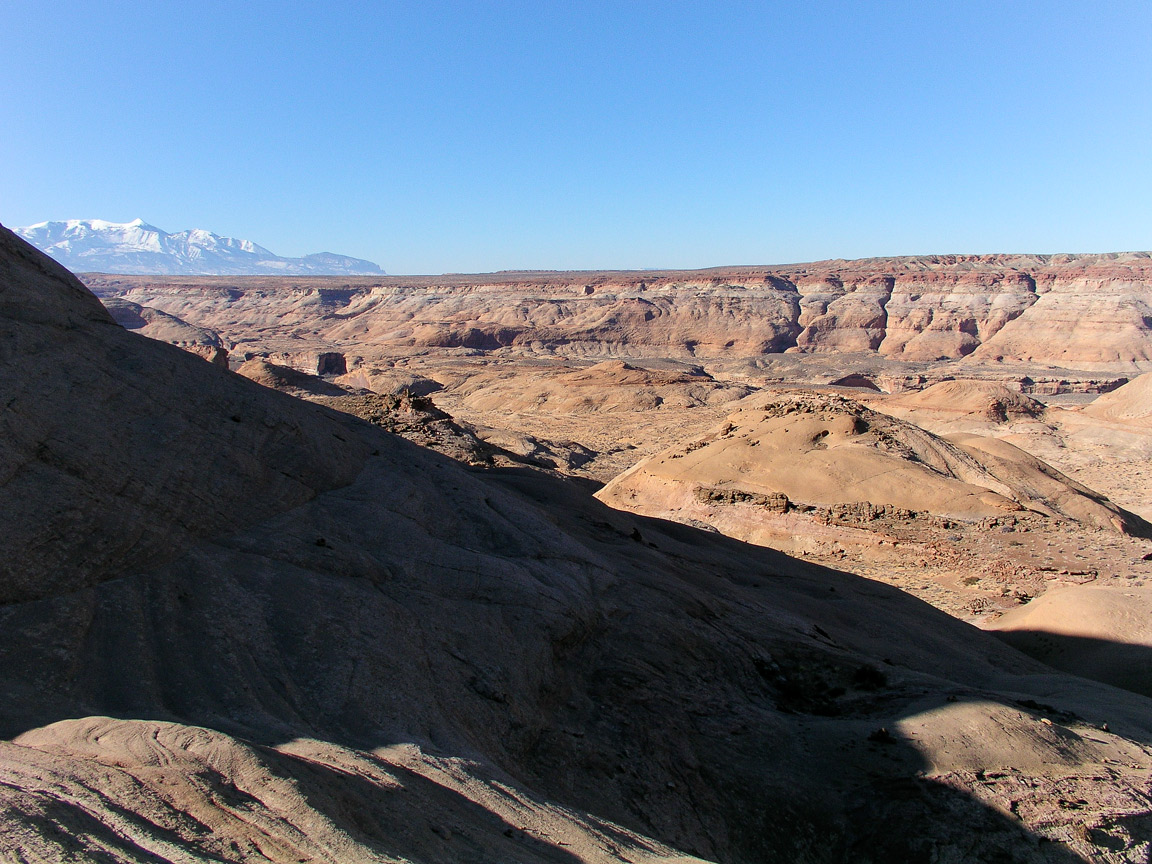
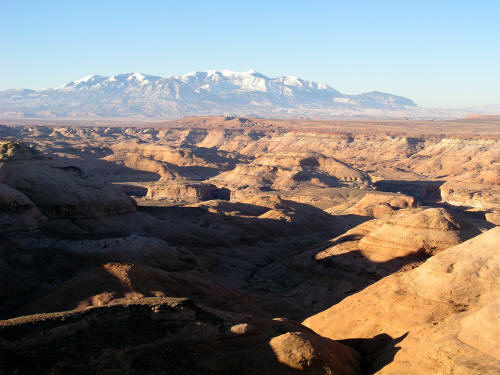
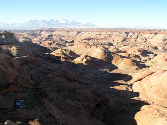
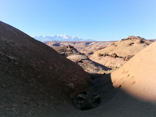
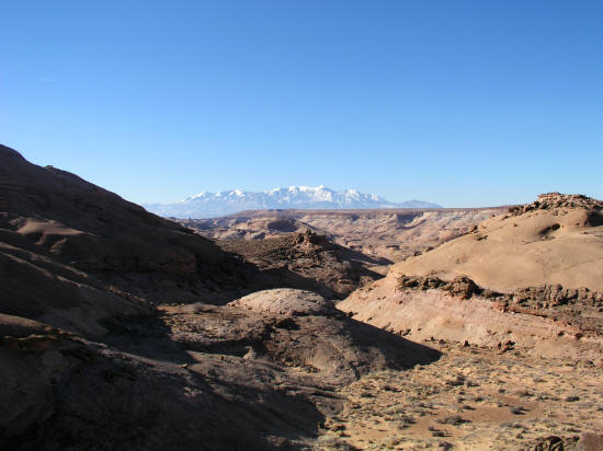
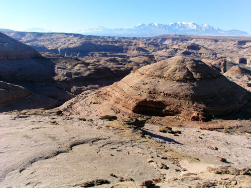
View generally south from caprock in the San Rafael Desert near Hanksville, Utah. Henry Mountains on the horizon.
2
|
 |
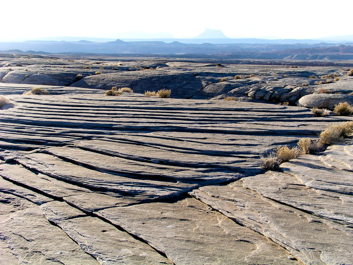
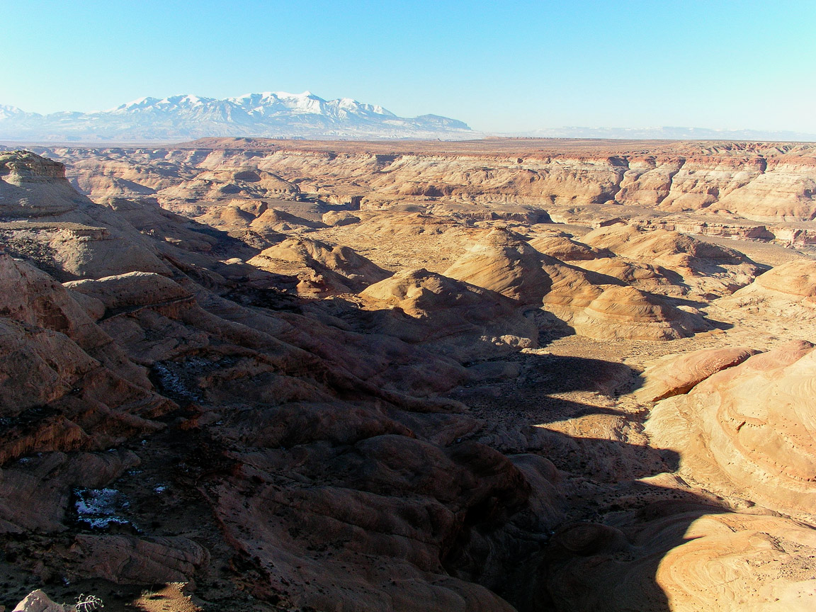
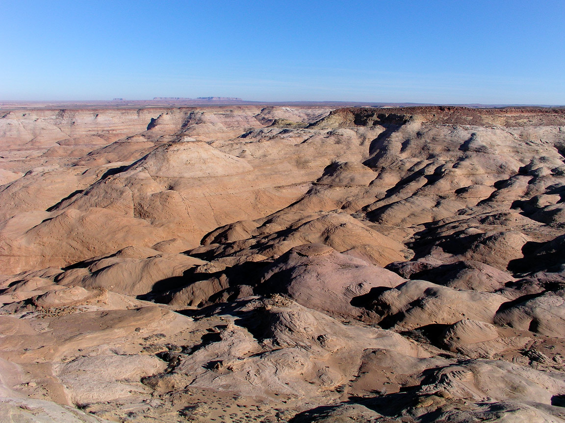
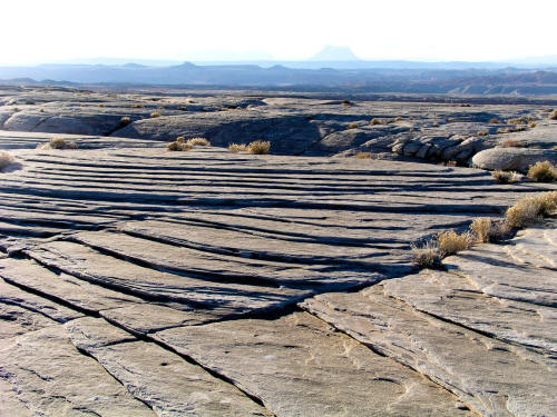
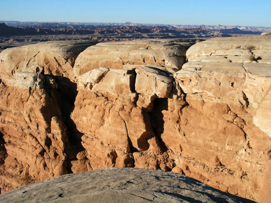
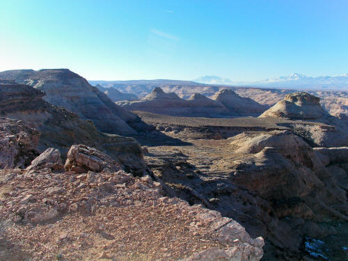
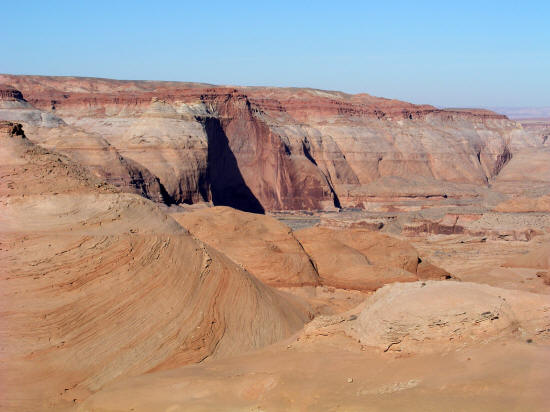
View generally east from caprock in the San Rafael Desert near Hanksville, Utah.
3
|
 |
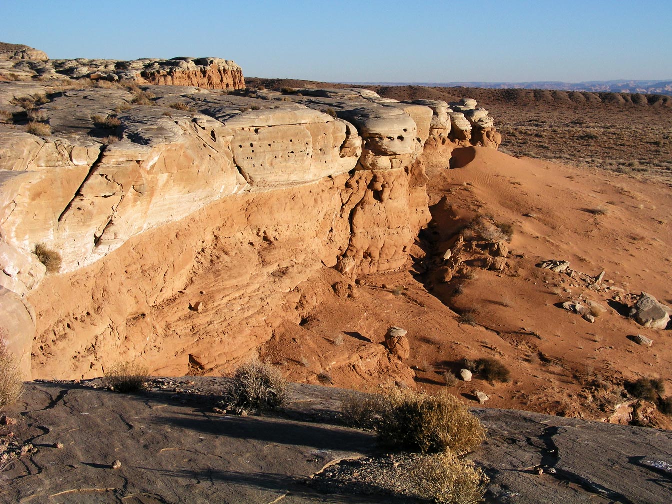
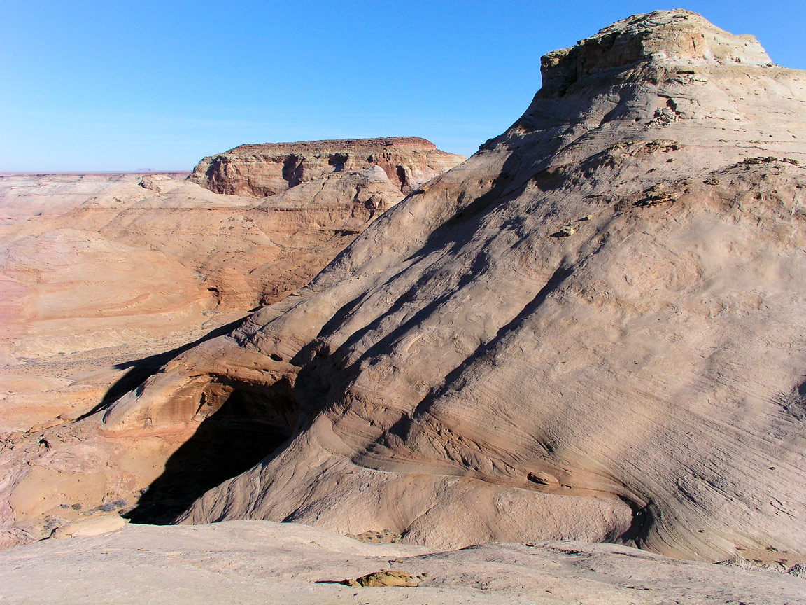
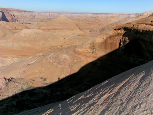
View generally west from
caprock in the San Rafael Desert near Hanksville, Utah. San Rafael Reef
on the Horizon.
4
|
 |
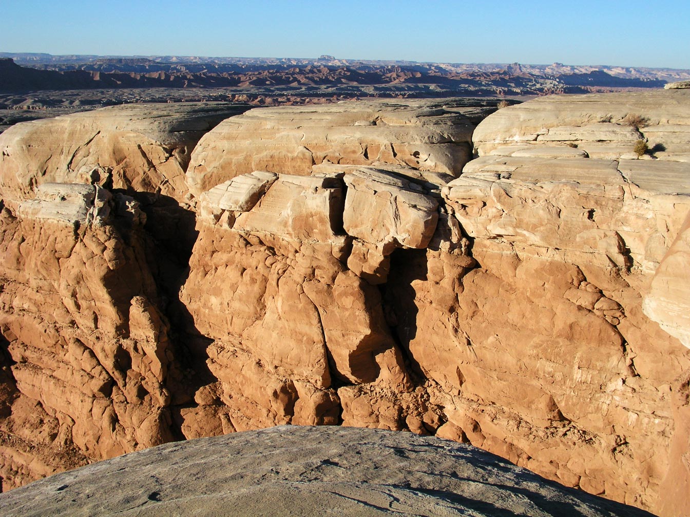
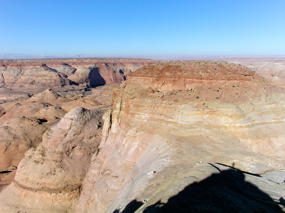
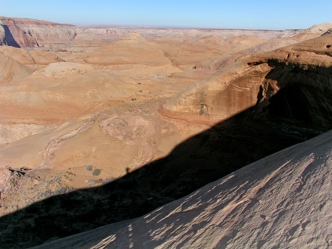
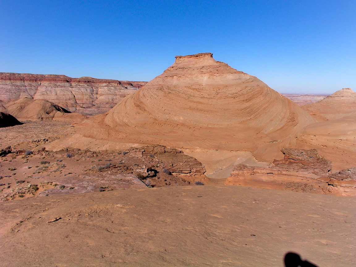
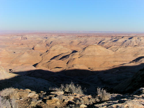
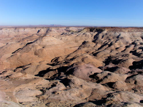
Looking generally west into eroded sandstone domes along the Dirty Devil River drainage.
6
|
 |
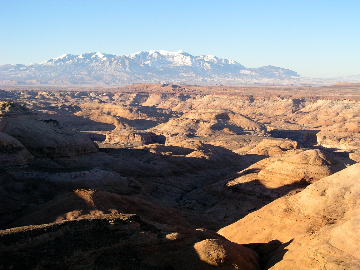
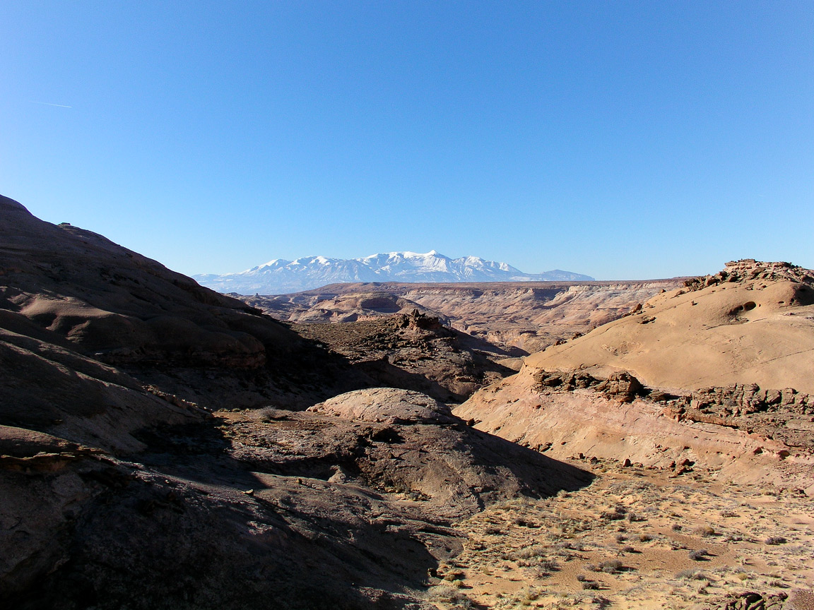
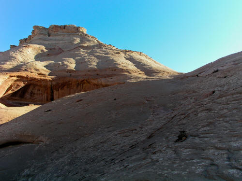
View west to Henry Mountains from the head of a drainage along the access road to the east Angel Trail.
5
|
 |
Looking generally north into the sandstone rock formations along the South Fork of Robbers Roost Canyon.
7
|
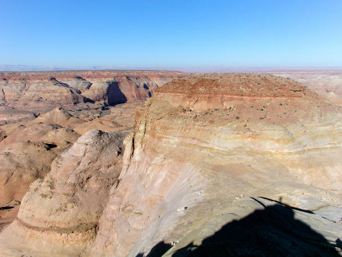 |
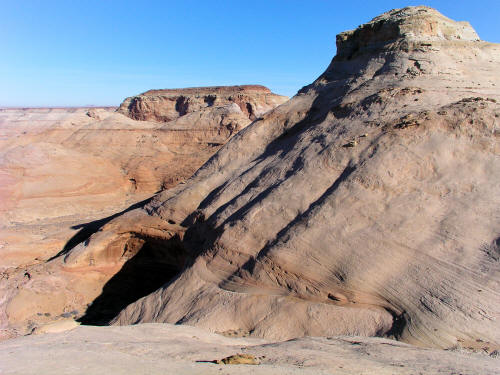
Looking generally north from near Angel Point at a massive sandstone dome on the edge of the canyon.
8
|
 |
Looking generally west into the drainage below Angel Point.
9
|
 |
Looking generally southwest along the edge of the drainage from near Angel Point.
10
|
 |
Looking northwest from near Angel Point into the canyon below.
Images taken fairly early in the day and very strong shadows cast by the
high band of cliffs into the canyon make this difficult to shoot.
11
|
 |
Looking
north from the top of the Angel Trail. A sea of exposed sandstone
dombs.
12
|
 |
Looking southwest from the Angel Trail. The trail drops off the canyon rim in a steep gravel drainage,
crosses a fairly level bench and decends into a series of massive sandstone bowls.
13
|
 |
View northwest from the Angel Trail toward Angel Cove.
14
|
 |
View southwest on the Angel Trail from a passage between two large sandstone formations.
15
|
 |
View from along the Angel Trail of the typical sold sandstone formations. Cairns mark the very loose trial.
16
|
 |
Another view farther down the Angel Trail as it approaches Angel Cove.
17
|
 |
View north from along the trail. The trail basically descends form the canyon rim to the Dirty Devil River,
crosses the river at a low point and ascends the opposite side to the Burr Desert. This route was used by Butch
Cassidy and gang to access the maze of canyons in the area.
18
|
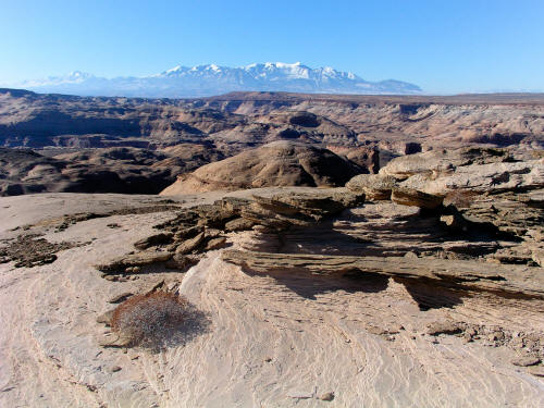 |
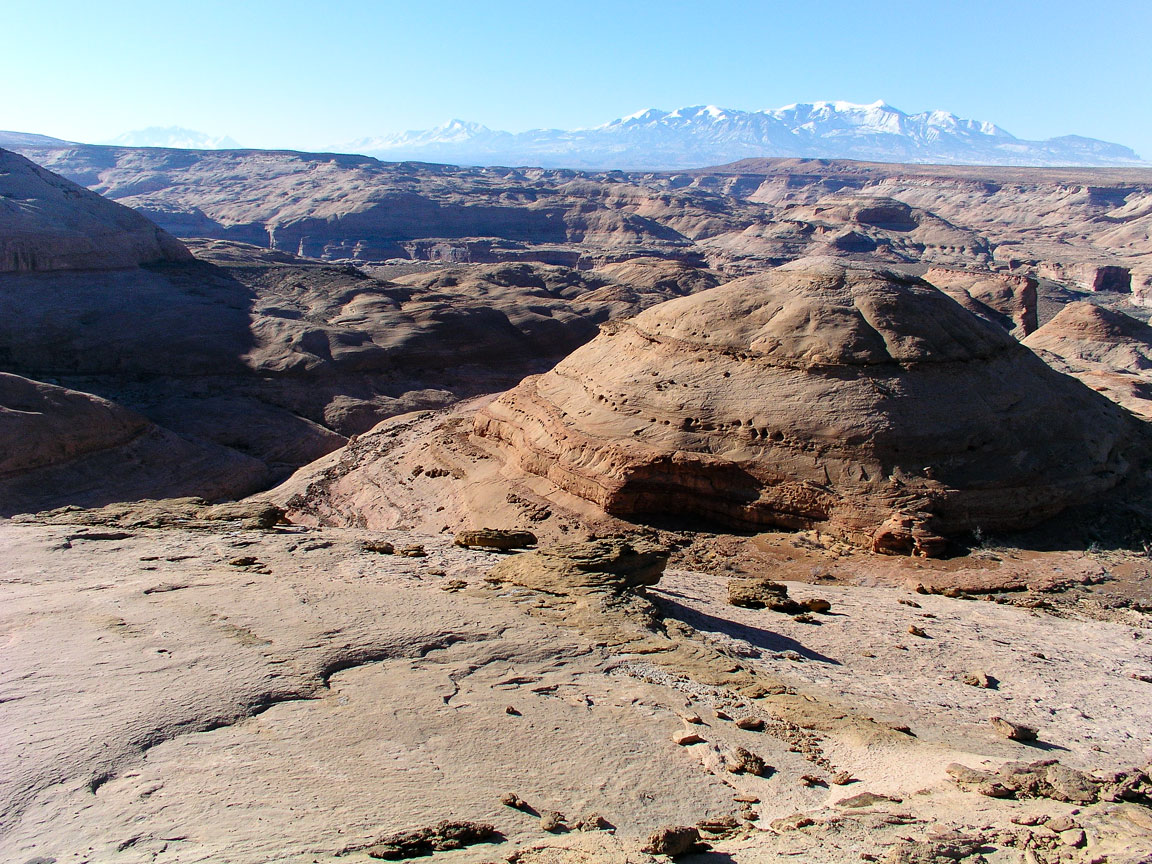
This is a view from the top of one of the sandstone formations looking toward the Henry Mountains.
19
|
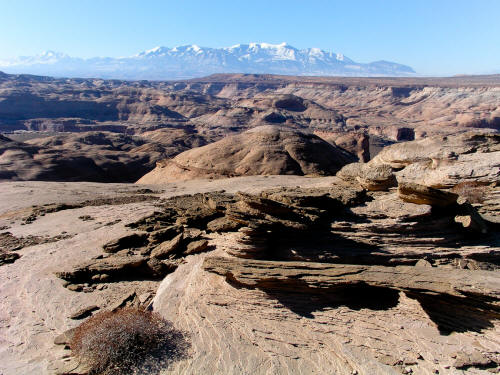 |
This is a view from the top of one of the sandstone formations looking toward the Henry Mountains.
20
|
 |
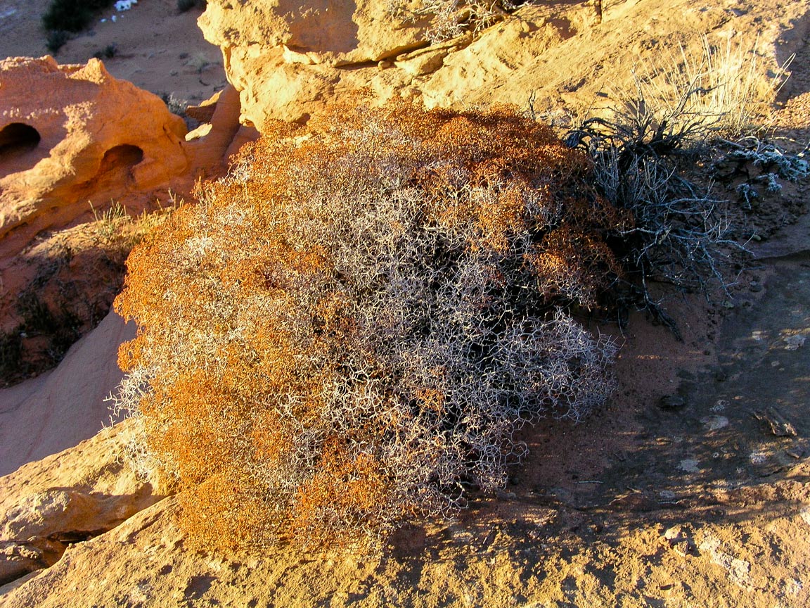
This is a very hardy plant found in this area growing out of cracks in the rock.
21
|
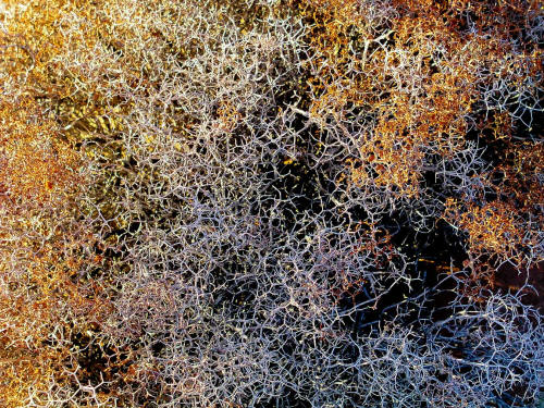 |
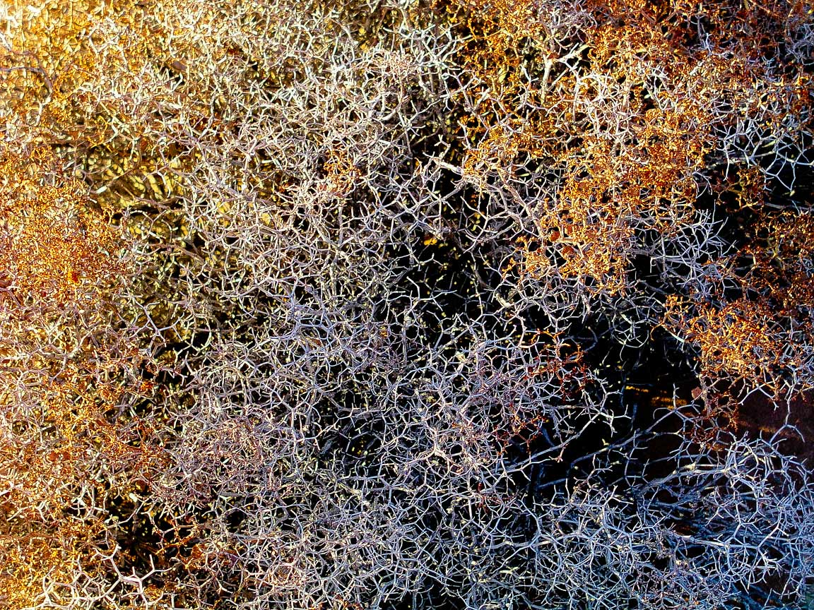
Close-up of previous image showing the very hexagonal structure of the stems of this plant.
22
|
 |
Another view from the top of one of the sandstone formations along the trail.
23
|
 |
Typical view along the Angel Trail as you weave around, in between and descend these
rock formations. This is not an easy area to access. It is 45 miles on mostly unmarked
dirt/rock/sand roads. The access route is not suitable for most automobiles but a 2WD high
clearance vehicle should be capable of the trip.
24
|